Plan a day in Thirsk · Thirsk on foot · History & heritage
Thirsk Castle Garth
What is left of a Norman motte and bailey castle, five minutes from the square, on ground that has never once been built on
- From the cafe
- 5 min walk
- Time to allow
- 20 minutes
- Cost
- Free
Opening, prices & access
- From Tea Time Cafe
- 5 min walk. West end of the Market Place, into Castlegate, then the alley on the right; the ground opens out in front of you
- Time to allow
- About 20 minutes; 8 minutes if you're rushing
- Cost
- Free
- Opening
- Open ground with no gates and no opening hours. Daylight is the only real constraint, since there is no lighting and the interpretation boards need reading
- Dogs
- Welcome
- Access
- The way in is a pedestrian alley off Castlegate and the interior is grass, with a slope between the first two boards. Some surfaced paths run through it. Nobody publishes an access statement for the site, so if a step or soft ground is a problem, ring Thirsk Town Council on 01845 526445 before you come
Why go
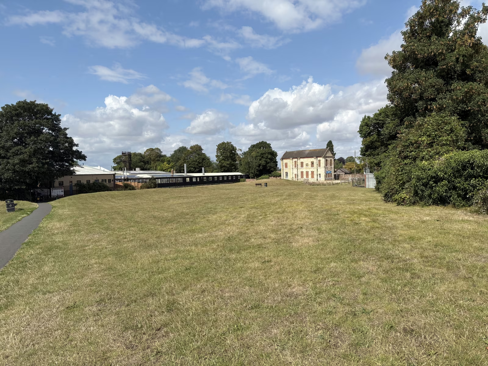
Thirsk had a castle for less than a century, and it has had the ground ever since. A motte and bailey went up here around 1092, Roger de Mowbray held it against Henry II in the revolt of 1174, and the king ordered it pulled down in 1176. Nothing of the stone is left. What is left is the shape of it: a bank 140 metres long and up to 2.5 metres high on the western side, with the ditch outside it, and about half the original area still readable as earthwork. Historic England has it scheduled as a monument, list entry 1008761, first protected in 1964.
The better story is what happened in 1994. Workmen installing an electricity sub-station on this ground cut into graves from the first half of the sixth century, an Anglian burial site nobody knew existed. One of the men buried here stood close to seven feet. His bones are in Thirsk Museum, five minutes up the road.
Then there is the fact the ground itself carries. Castle Garth has never been built on. Not in nine hundred years. It was a garden from 1376, laid to grass by the end of that century, and it has been paddock, garden and open space ever since.
Getting there
From our door at 87 Market Place, go to the west end of the square and turn into Castlegate. The alley to Castle Garth is on the right after a short way. It is about 260 metres of walking and takes four or five minutes, all of it flat until you reach the grass.
Leave the car on the Market Place, where the first hour is free if you press the green button for a ticket. Millgate and Marage are the other options and neither is more than a few minutes away.
One warning about your phone. There is a street in Thirsk also called Castle Garth, about 170 metres west, and it is where the fire station is. A mapping app given the name alone may well send you to the road rather than the green.
What to do
Find the boulder first. It sits low in the grass with a blue plaque bolted to it, and it carries the whole story in six lines. Read it, then look up at the house on the rise: that is Castle Villa, late Victorian, standing on what is left of the motte. Decorated stonework was reportedly turned up when it was built in the 1890s.
Then walk the western rampart. It is the one thing on the site that is unmistakably not natural, 140 metres of bank with the ditch on its outer side, and it marks where the bailey ended. Look across the interior as you go and you can pick out low rectangular humps under the grass, none of them higher than about 30 centimetres. Those are building plots and gardens.
Three interpretation boards stand along the path, numbers one to three of a fifteen-board town trail. Board one covers the 1994 dig, board two the castle, board three the Norman conquest. Twenty minutes covers all of it comfortably.
Best features
The rampart is the reason to come. Town-centre castle sites usually get built over, and this one did not, so you are looking at roughly half of an eleventh-century earthwork inside a market town.
The 1994 burials are the other half of the interest, and they are the part that changes how you read Thirsk. The town is named from Old Norse for a fen or a lake. It has a Domesday entry. What it did not have, until that sub-station went in, was hard evidence of people living here in the sixth century.
Worth knowing, because nobody says it on site: Historic England's own research record notes the bailey is unusually small, and that other readings, including undocumented town defences, are considered plausible. The boards do not mention it. It does not spoil the visit, but the certainty out there is a little firmer than the certainty in the file.
Tips
Do this and Thirsk Museum together, because the museum holds the finds from the ground you are standing on and the two are five minutes apart. The museum closes for the winter after 31 October, so check before you build a morning around it.
Set your expectations before you walk down. There are no ruins. If you arrive hoping for walls you will be disappointed in about ninety seconds, and if you arrive expecting a field with a very old shape in it you will get exactly that.
Wear something you do not mind on grass, and be aware of the slope between the first two boards. There are no toilets on site; the nearest are at Millgate.
One oddity to enjoy while you are there. The boulder plaque and the interpretation boards, twenty yards apart on the same patch of grass, name different men as the builder. The plaque says Robert de Stuteville and the boards say Robert de Mowbray. The plaque is the one that agrees with Historic England and the Victoria County History, and the Mowbrays did not hold Thirsk until about 1107, well after the castle went up.
Photographs
Thirsk Castle Garth, in pictures
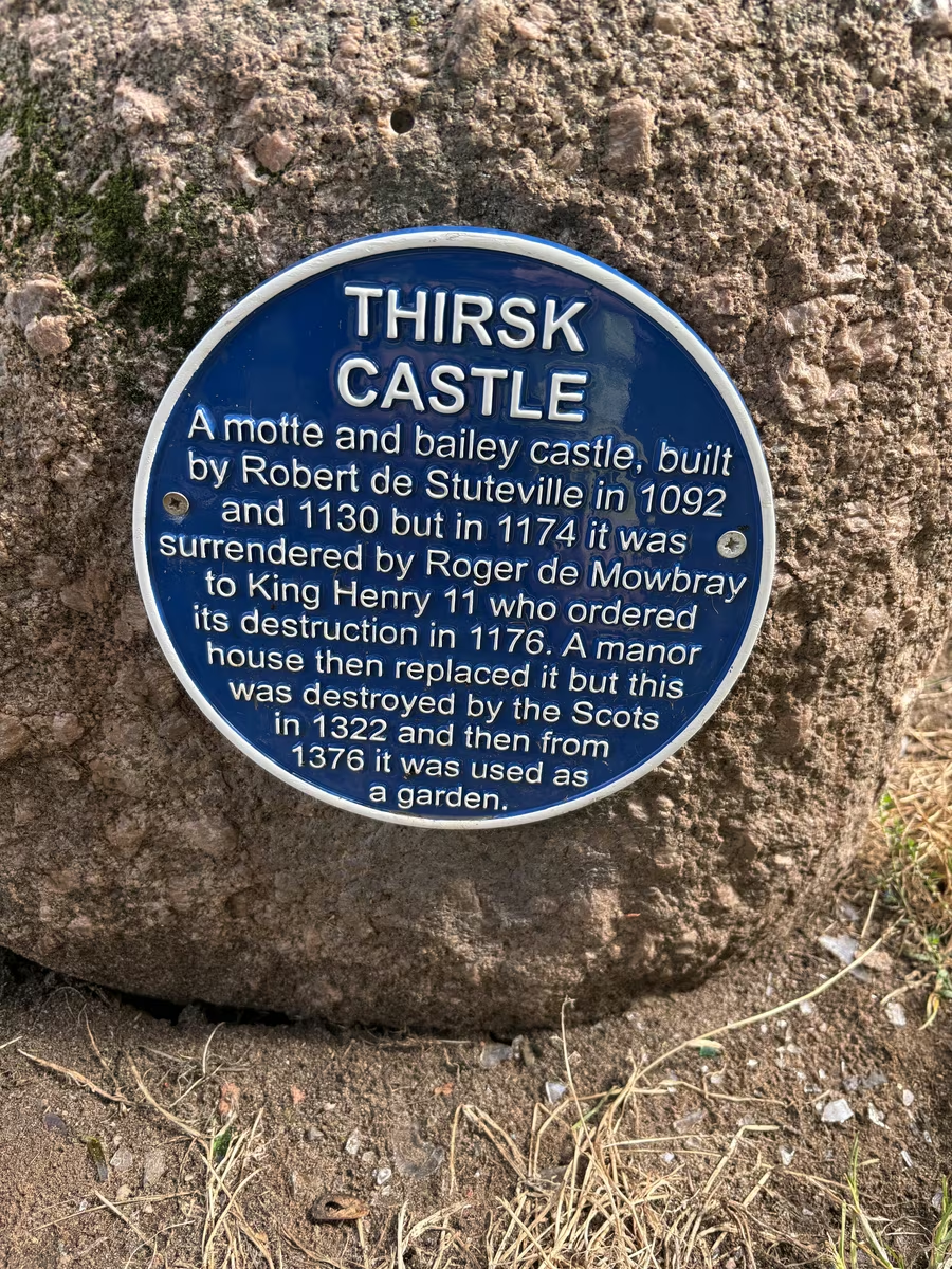
The blue plaque on its boulder, giving the castle story in six lines 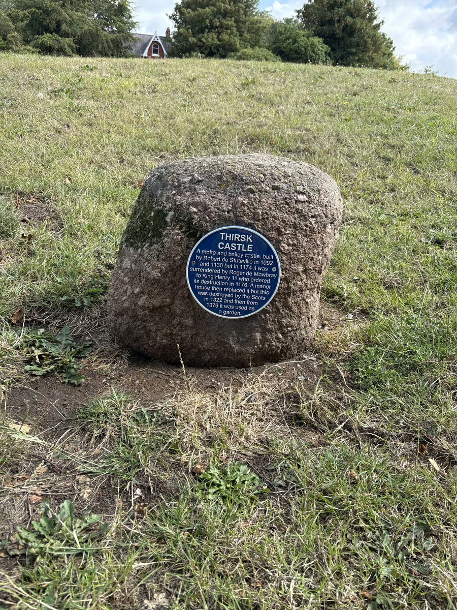
The boulder set into the grass below Castle Villa 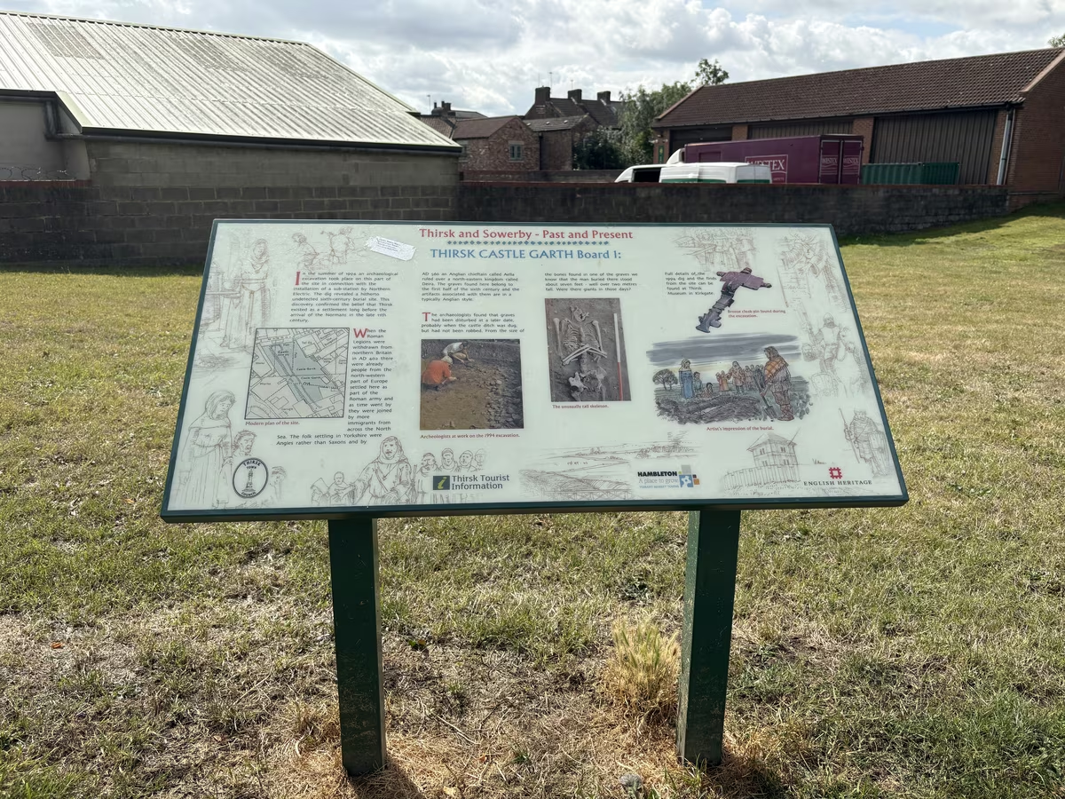
Board one, on the sixth-century burials found here in 1994 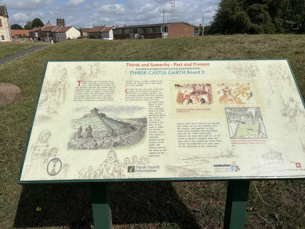
Board two, on the motte and bailey castle itself
Questions people ask
Thirsk Castle Garth, answered
Is there an actual castle to see?
No standing stone at all. What survives is earthwork, and the board on site says plainly that none of the castle fabric is visible. The thing to look for is the western rampart, a bank 140 metres long and up to 2.5 metres high.
Does it cost anything, and do I need to book?
No to both. It is open ground maintained by Thirsk Town Council, with no gates, no hours and nothing to pay.
How old is it and who built it?
Historic England attributes it to Robert de Stuteville, in about 1092. Worth knowing that the Victoria County History is more cautious and will only say it was built before 1130.
What happened to it?
Roger de Mowbray held it against Henry II during the revolt of 1173 and 1174, then surrendered. Henry ordered it destroyed in 1176. A manor house replaced it, the Scots destroyed that in 1322, and from 1376 the ground was simply a garden.
What was found here in 1994?
Workmen putting in an electricity sub-station cut into a sixth-century Anglian burial ground nobody knew was there, which pushed the known history of Thirsk back several hundred years before the Normans arrived.
Where can I see what they found?
Thirsk Museum on Kirkgate, about five minutes away. The bones and the finds from the 1994 dig are in the Reynolds Room.
How long does it take?
Fifteen to twenty five minutes to read all three boards and walk the rampart. Eight minutes if you only want the plaque and the view.
Is it suitable for a wheelchair or a pushchair?
Partly at best. The entrance is an alley, the interior is grass and there is a slope between the first two boards. No access statement is published for the site, so ring the town council on 01845 526445 if it matters.
Goes well with
Make a day of it
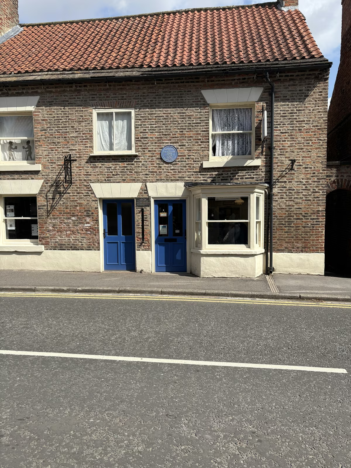
Thirsk Museum
Free volunteer-run museum in the house where Thomas Lord, founder of Lord's Cricket Ground, was born in 1755
3 min walk from the cafe
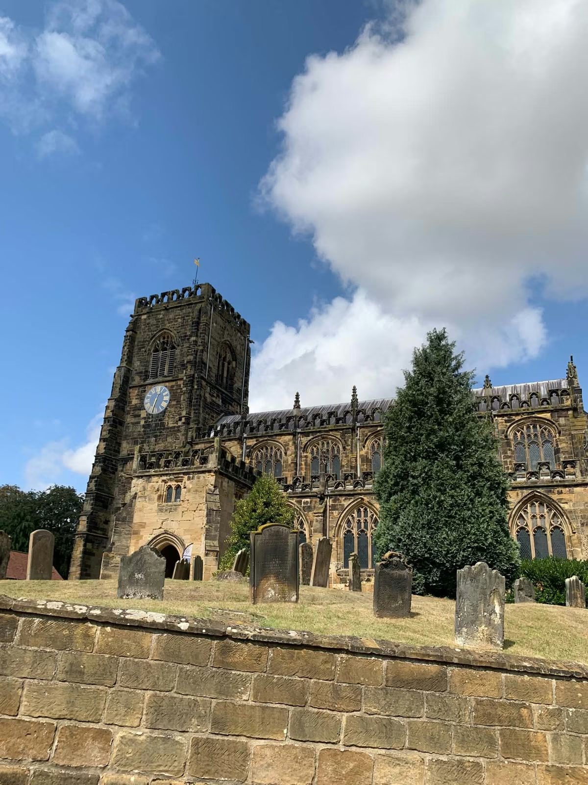
St Mary's Church, Thirsk
The town's 15th-century Perpendicular Gothic parish church at the top of Kirkgate, free to walk into
6 min walk from the cafe
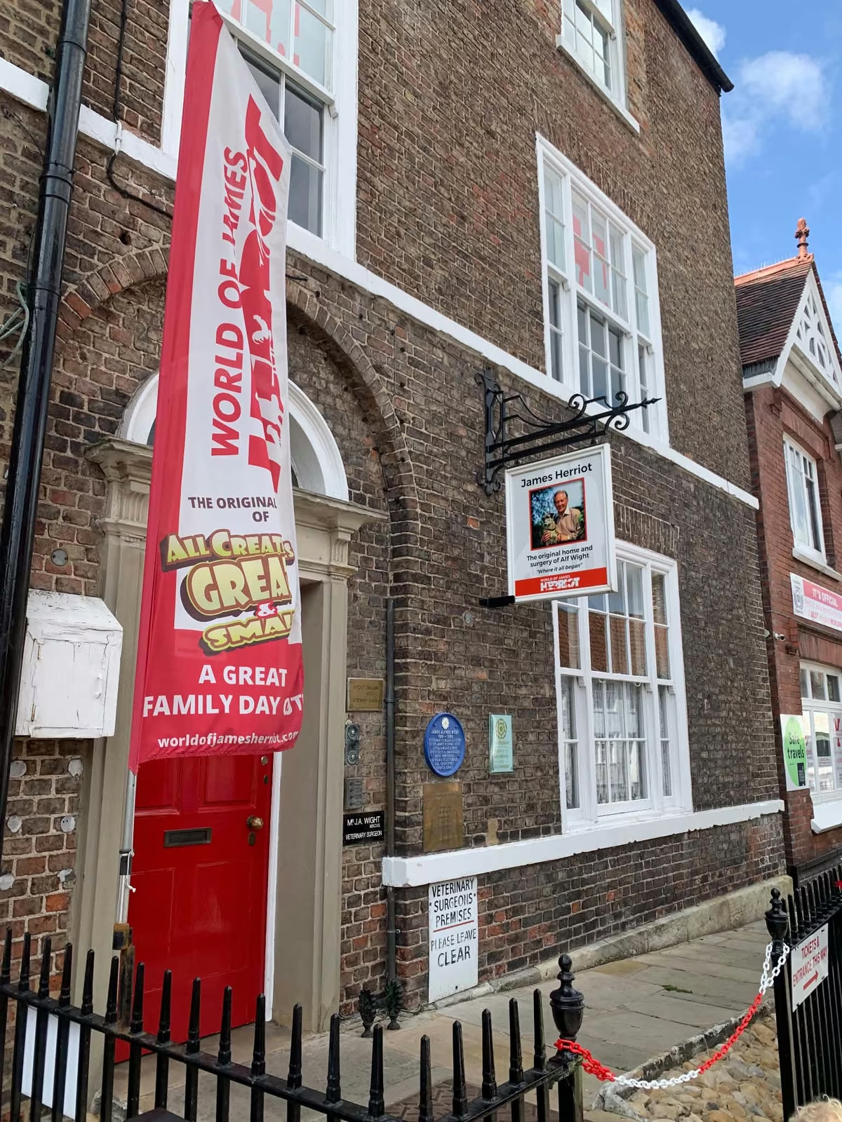
World of James Herriot
The house at 23 Kirkgate where Alf Wight lived and practised, kept as the Skeldale House of the books
4 min walk from the cafe
Start or finish at Tea Time Cafe, 87 Market Place. Hours and directions. Spotted something out of date? Tell us and we'll fix it.