Plan a day in Thirsk · Thirsk on foot · Walks & outdoors
Cod Beck riverside walk
The stream that made Thirsk, with a flat two to three mile riverside loop you can pick up two minutes from the square
- From the cafe
- 2 min walk
- Time to allow
- 1 hour
- Cost
- Free
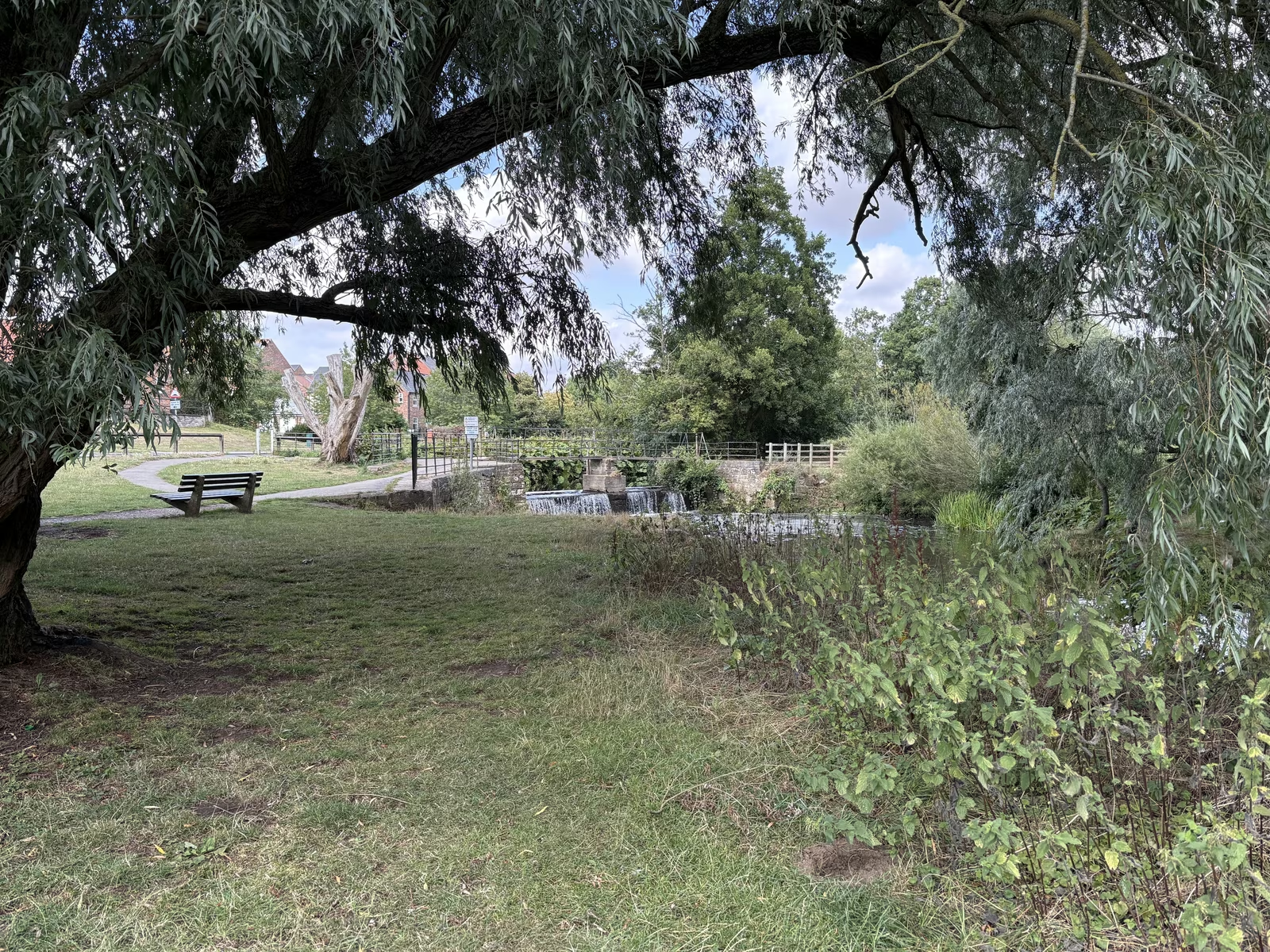
Opening, prices & access
- From Tea Time Cafe
- 2 min walk. Take Millgate from the corner of the square and the beck is at the bottom, about two minutes on pavement
- Time to allow
- About 1 hours; 20 minutes if you're rushing
- Cost
- Free
- Opening
- Open access at any time, best walked in daylight; the low paths can flood after heavy rain
- Dogs
- Welcome
- Access
- Flat the whole way on a mix of pavement and packed riverside path. Some stretches turn muddy after rain and the lowest sections flood, so check conditions in winter.
Why go
Cod Beck is the stream that made Thirsk, and the reason the town sits where it does. The name comes from an old word meaning cold brook. It comes off the moors, runs about 22 miles, and loops straight through the middle of town under a series of small bridges. From the Market Place you are standing on its bank in roughly two minutes.
That closeness is the point. You can walk out after breakfast, follow the water for an hour, and be back before the square has properly filled up. The full town loop comes to two or three miles, flat the whole way, and it costs nothing. For anyone with a spare hour between a museum and lunch, it is the easiest thing on this list.
Getting there
From Tea Time Cafe at 87 Market Place, cross to the corner of the square and head down Millgate, the narrow street of shops leading away from the cobbles. The beck and its bridge are at the bottom, two minutes on pavement, no climbing involved.
Turn either way at the water. North takes you along the green riverside towards The Holmes and Norby. South follows the beck out of town towards Sowerby, the lime avenue and the open ground of Sowerby Flatts. Nothing here needs a car, which makes it the obvious walk for anyone arriving by train. Thirsk station sits about a mile and a half west of the square, a flat half hour on foot.
What to do
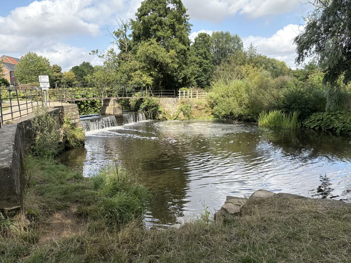
The walk locals do goes north. Follow the water from Millgate, up through the parkland and past the playground at The Holmes, and keep going until you reach Norby Weir, which everyone here calls the waterfall. Cross the footbridge over it, then come back down the far bank into town. That is the loop, and it takes about three quarters of an hour at a gentle pace.
The weir is worth the walk in its own right. It is man-made, the last of the workings for Thirsk Mill, and the sluice gate beside it used to divert water into a leet that fed the lake in front of Thirsk Hall and then Rymers Mill. After heavy rain it turns into a genuine fall of water. Past and Present board 4 stands next to it and explains the mill.
Take bread money for the ducks if there are children in the party, because they will stall at the first bench regardless of your plans. Watch for the flood marks on the older cottages, set a step or two up from the lane for good reason. If you want more than the loop, carry straight on at the weir instead of turning back and you are on the Seven Bridges path, or head south towards the meadows and the Anglo-Saxon barrow at Pudding Pie Hill.
Best features
Flat, free and two minutes from the square, which is a rare combination in a market town. The water brings wildlife right into the middle of Thirsk, so herons work the shallows early and ducks patrol the bridges all day. It suits every pace: a twenty-minute leg-stretch, an hour's circuit, or the spine of a half-day that takes in The Holmes and Sowerby Flatts. Dogs are welcome throughout. So are picnics from the bakery.
Tips
Boots in winter, town shoes in summer. The low paths hold water and the beck floods after heavy rain on the moors, so check underfoot conditions before you commit to the full loop between November and March. Walk it in daylight, as several stretches are unlit once you leave the streets. Keep dogs on a lead where the route passes livestock south of town. If the sky opens halfway round, the indoor options are all within five minutes: the World of James Herriot, Thirsk Museum and the Ritz Cinema. Early morning gives the best light on the water and the quietest bridges.
The route, step by step
- Distance
- 1.9 miles
- Shape
- Circular
- Underfoot
- Tarmac pavement to the beck, then mown grass and packed earth beside the water. The riverside stretch turns muddy after rain and stays that way for a day or two.
Access Level throughout, with no stiles and no climbing. Fine for a pushchair on a dry day. The grass path either side of the weir gets soft after rain, and the footbridge at the weir has a step up at each end, so a wheelchair is better turning back at The Holmes and returning the way it came.
The line is the walk; the numbers match the points below. T is our door.
Point 1: Down Millgate from the square
Cross the cobbles from our door and go down Millgate, the narrow run of shops leading off the square. Two minutes on pavement, no climbing, and the beck and its bridge are at the bottom. Turn left at the water to walk north.
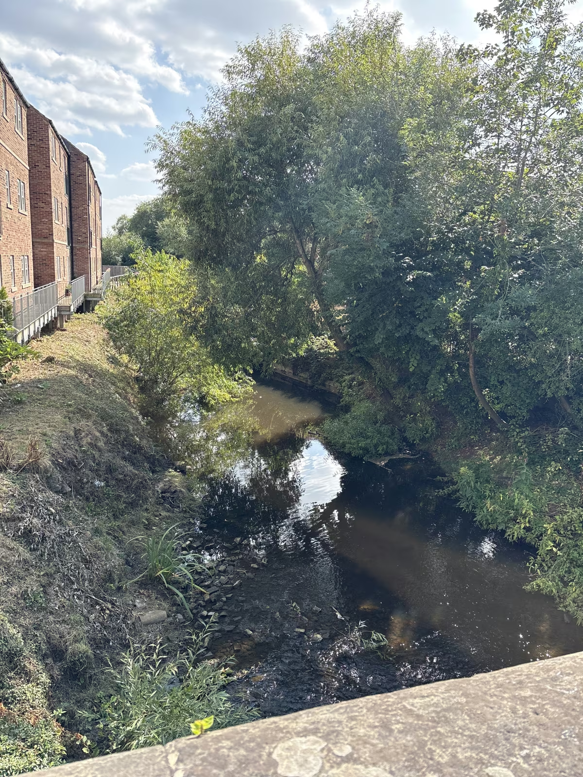
Point 2: The bridge and the town stretch
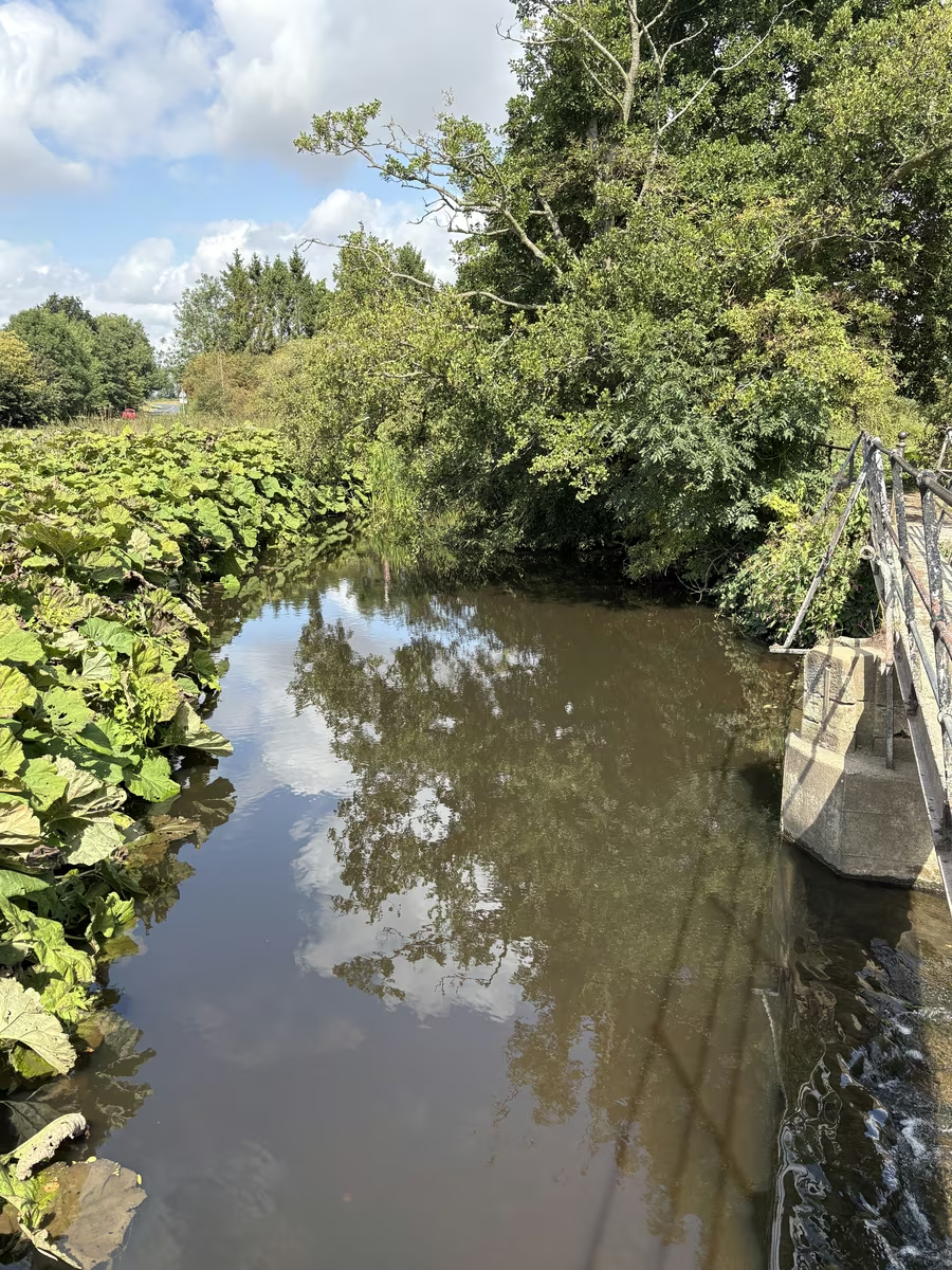
The beck runs dark and slow here between the backs of the buildings, with a timber handrail alongside. Look at the older cottages on the far bank and you will see flood marks set a step or two above the lane, which is not decoration.
Point 3: The Holmes and the playground
The path opens out into parkland with a playground and benches. This is where children with bread stall regardless of anyone's plans, so budget for it. Ducks, willows leaning over the water, and the first proper stretch of grass underfoot.
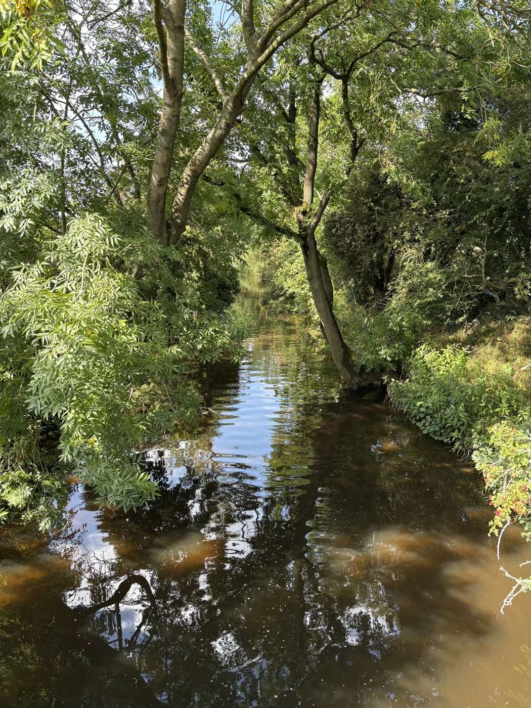
Point 4: The willow stretch
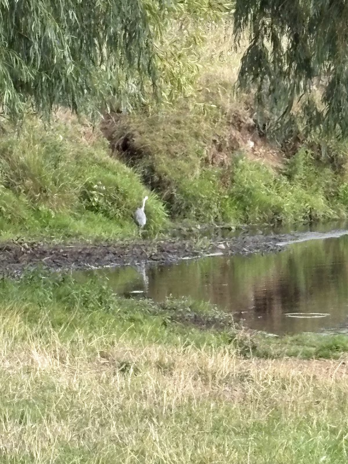
Willows close over the water for a few hundred yards and the light goes green. Watch the shingle on the inside of the bends for a heron, which stands still enough that most people walk straight past it.
Point 5: Norby Weir, the waterfall
The turning point, and worth the walk on its own. It is man-made, the last of the workings for Thirsk Mill, and after heavy rain it becomes a real fall of water. Past and Present board 4 stands beside it and explains the mill.
Point 6: Cross the footbridge
Cross over the weir on the footbridge, which has a step at each end, and turn back down the far bank. Carry straight on instead if you want the Seven Bridges path, which adds a good hour to the day.
Point 7: Back down the far bank
The return leg runs the opposite bank, wider and more open, with the beck on your right the whole way. It rejoins the road at the bottom of Millgate, so you come out where you started and can be back at our door in three minutes.
Photographs
Cod Beck riverside walk, in pictures
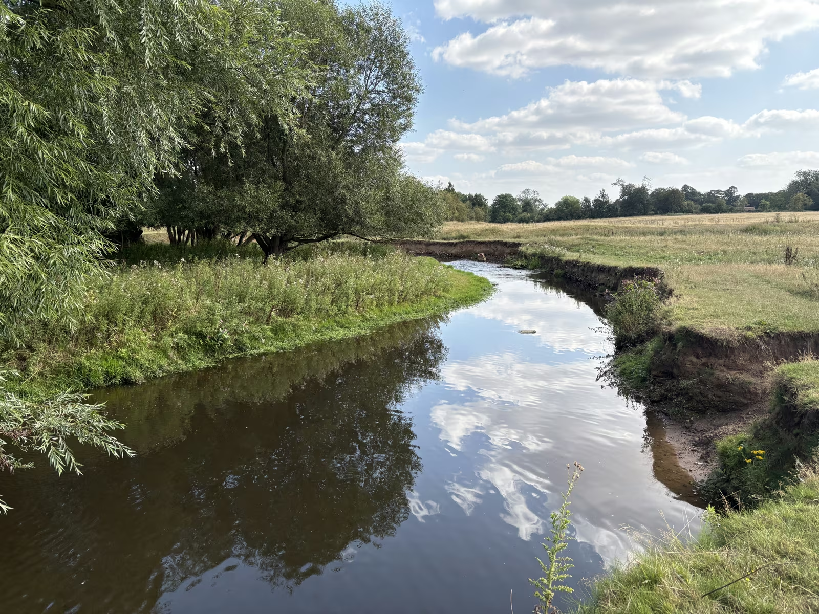
A wide bend of Cod Beck below Sowerby, still enough to hold the reflection of the clouds 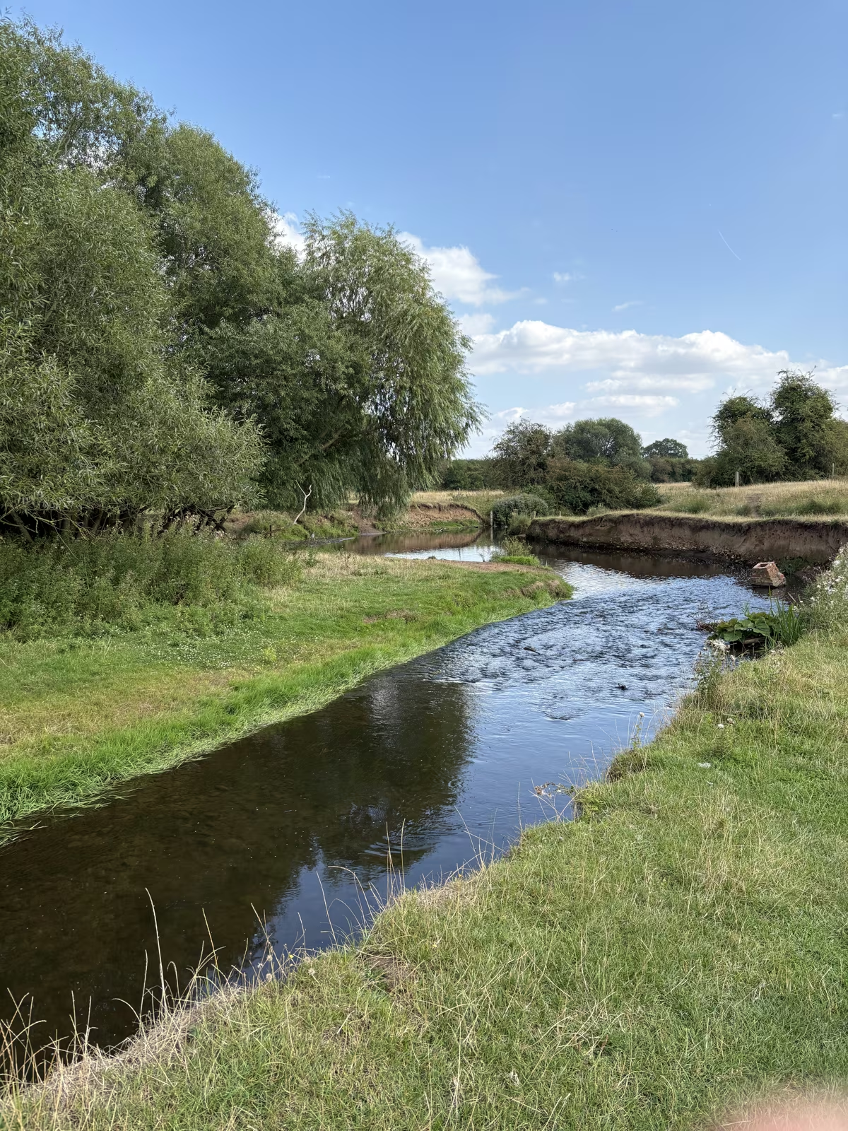
The beck running shallow and clear over gravel, with willows leaning in from the bank 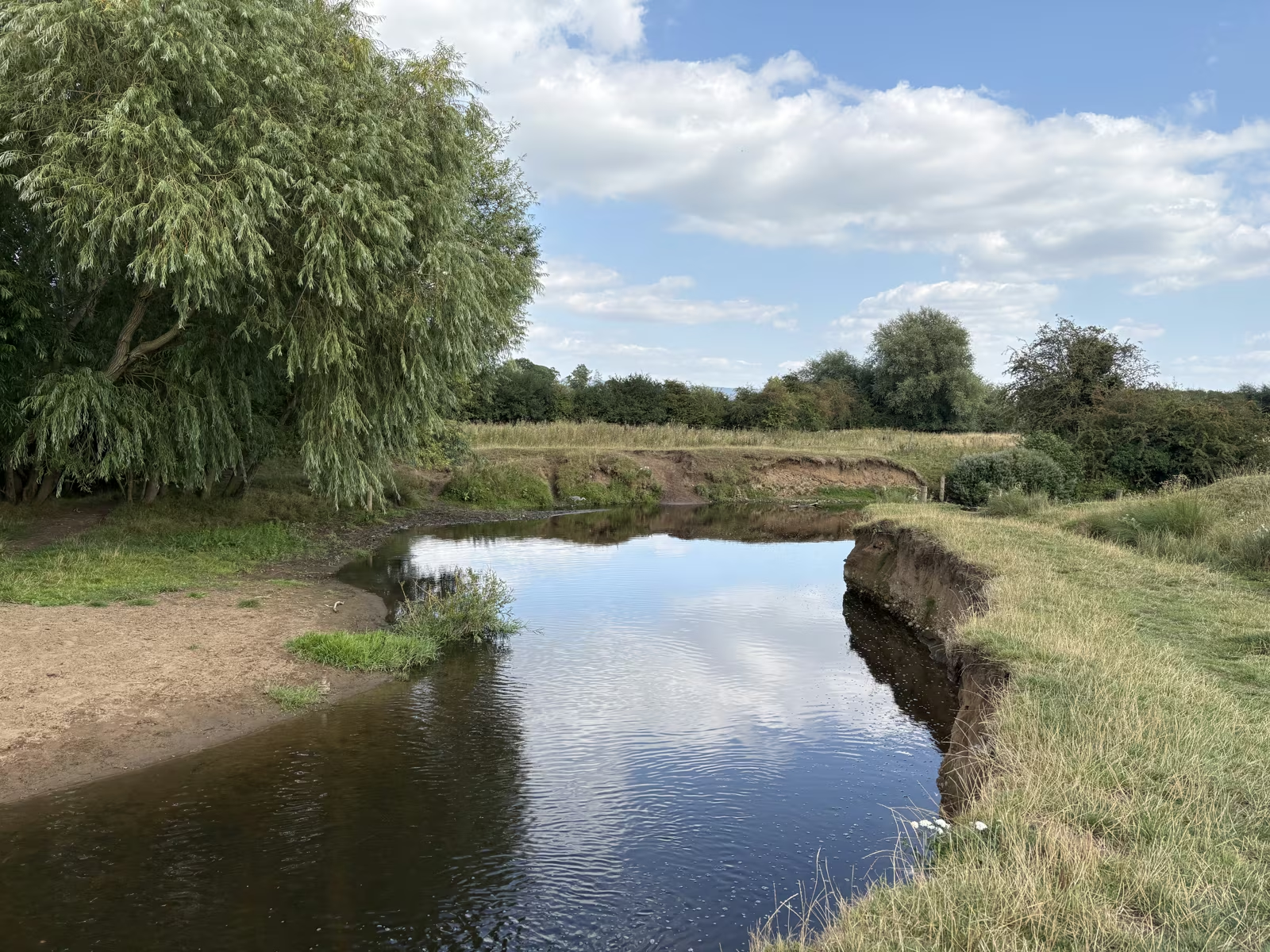
A pale sand and shingle bank on the inside of a meander, with the cut bank opposite 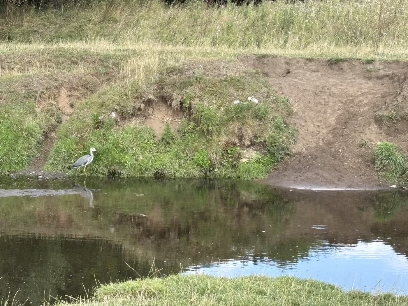
A heron standing on the shingle below an eroded earth bank 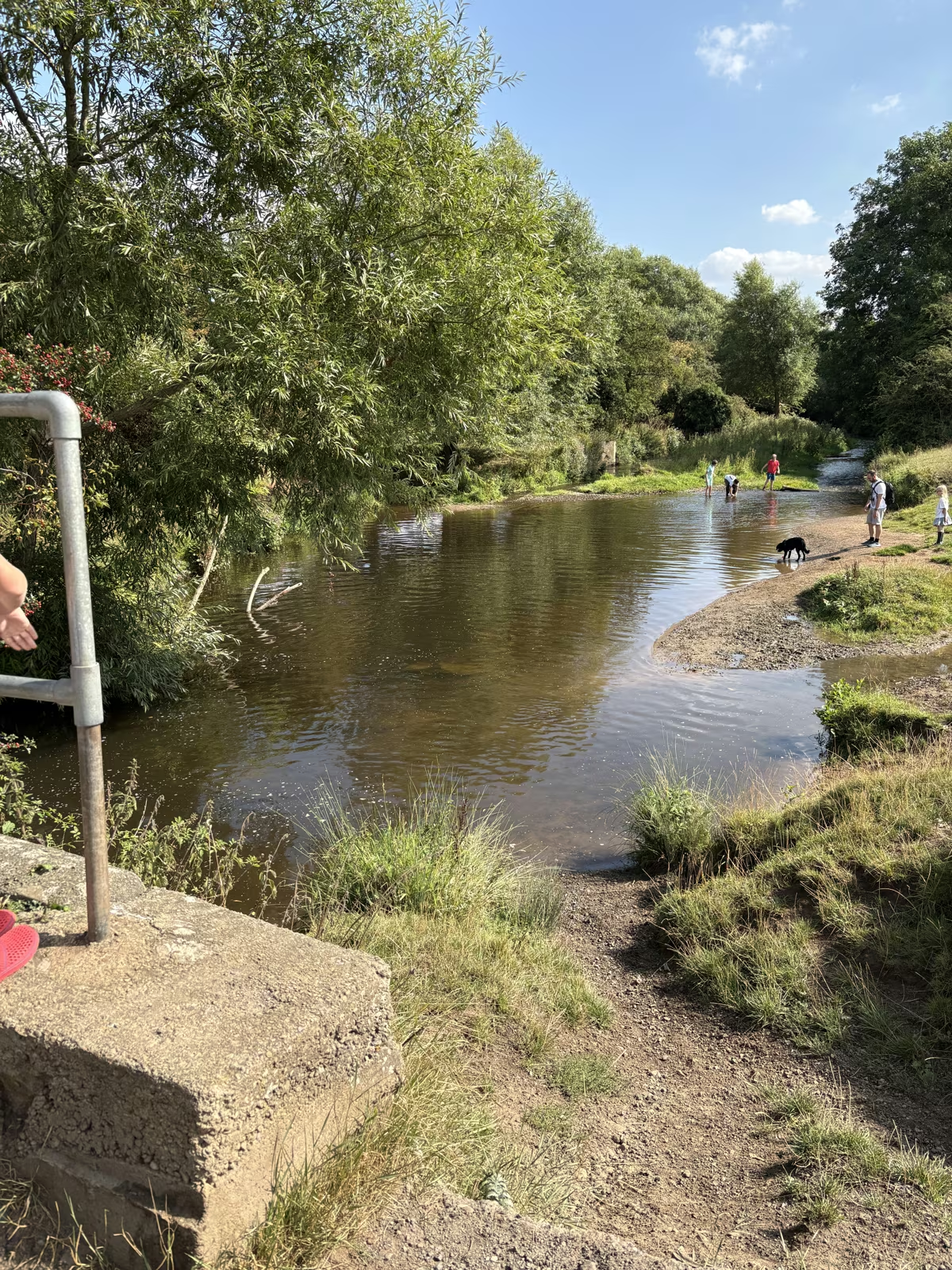
The shallow stretch where families paddle, seen from the footbridge with walkers and a dog on the far bank Willows arching right over the water, the beck dark and still beneath them 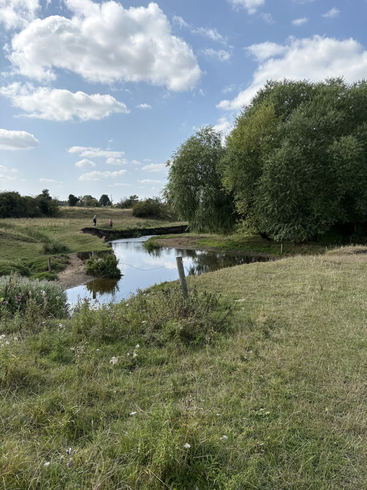
The beck meandering away across the flat grazing, with a small footbridge in the distance 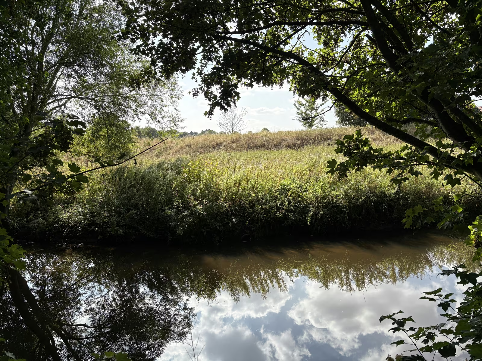
Still water under overhanging branches, with a hedge and stubble field beyond 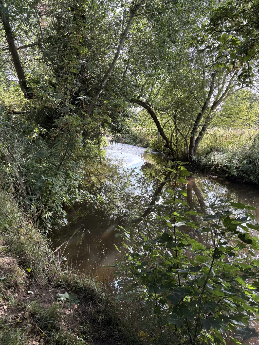
A narrow shaded reach of the beck, hemmed in by trees on both banks Looking down on the beck from the road bridge in town, with the brick backs of buildings alongside 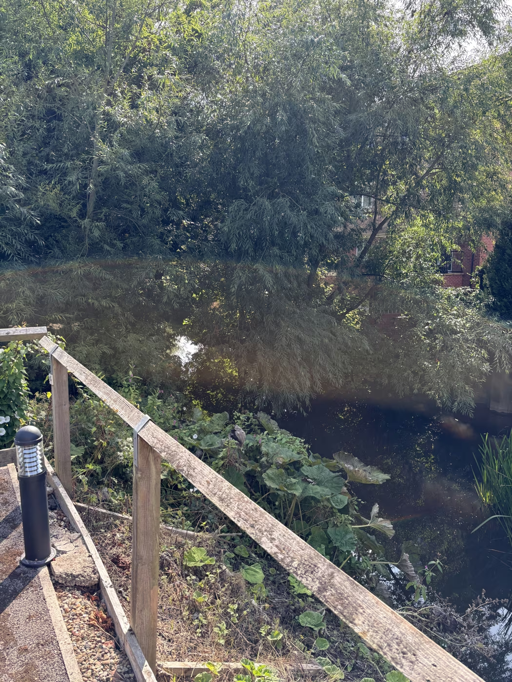
The timber handrail alongside the beck near the town centre A heron standing on the muddy bank of Cod Beck under the willows, its reflection in the still water 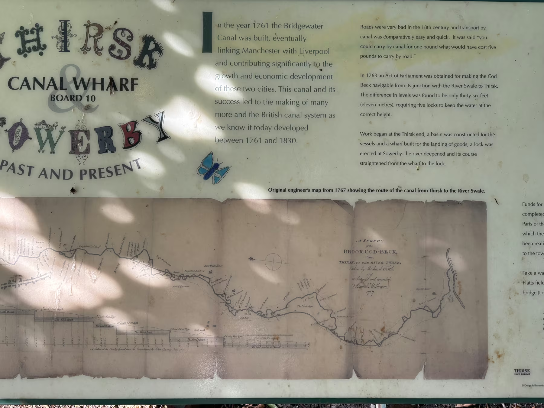
Interpretation board 10 on the walk, headed Thirsk Canal Wharf and Sowerby Past and Present, carrying the original 1767 engineer's survey of the intended Cod Beck navigation 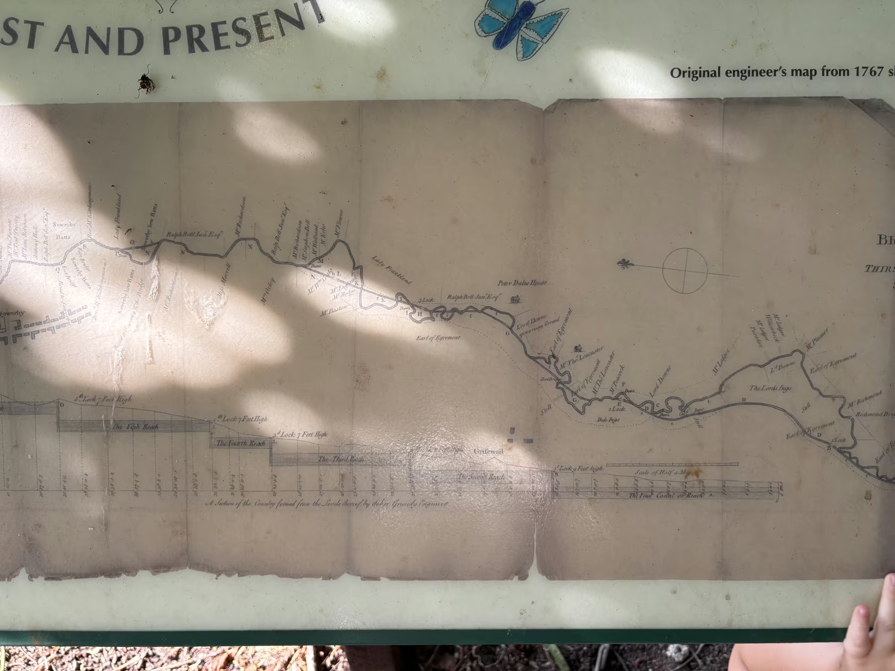
Close-up of the 1767 engineer's map on the board, showing the five proposed locks and their heights, the numbered reaches, and Sowerby Flatts at the left-hand end Norby Weir in full flow, the turning point of the loop 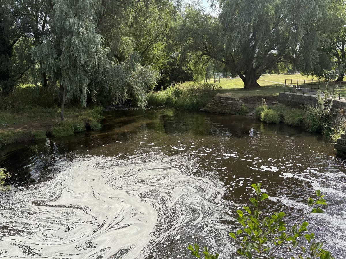
The pool below the weir, with the playground behind 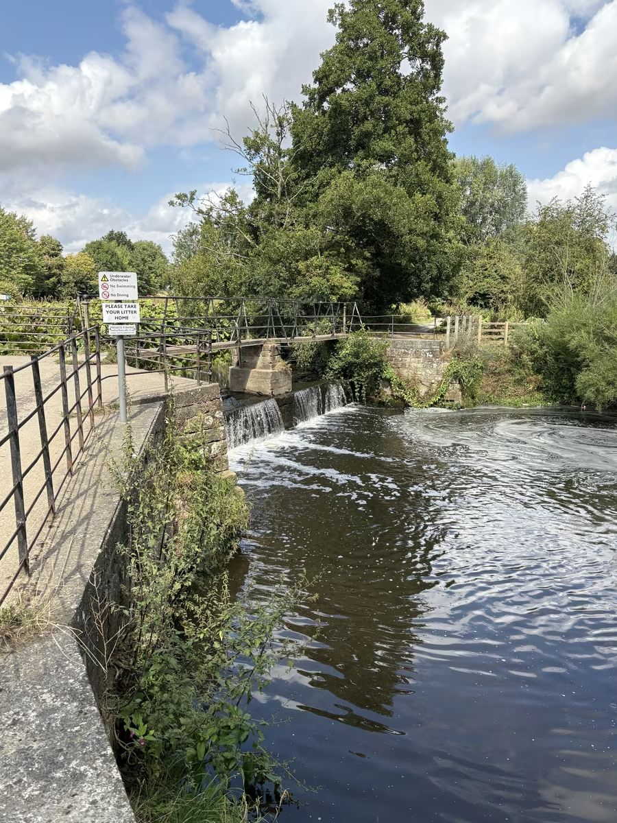
The footbridge over the weir 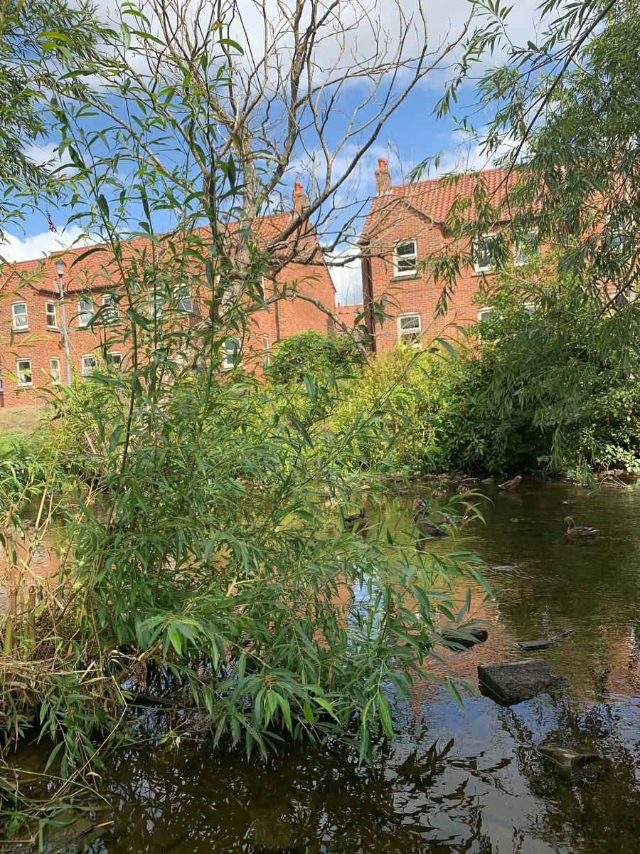
Ducks and willows on the beck through town 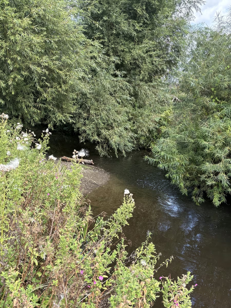
The willows closing over the water north of The Holmes One of the footbridges on the town stretch 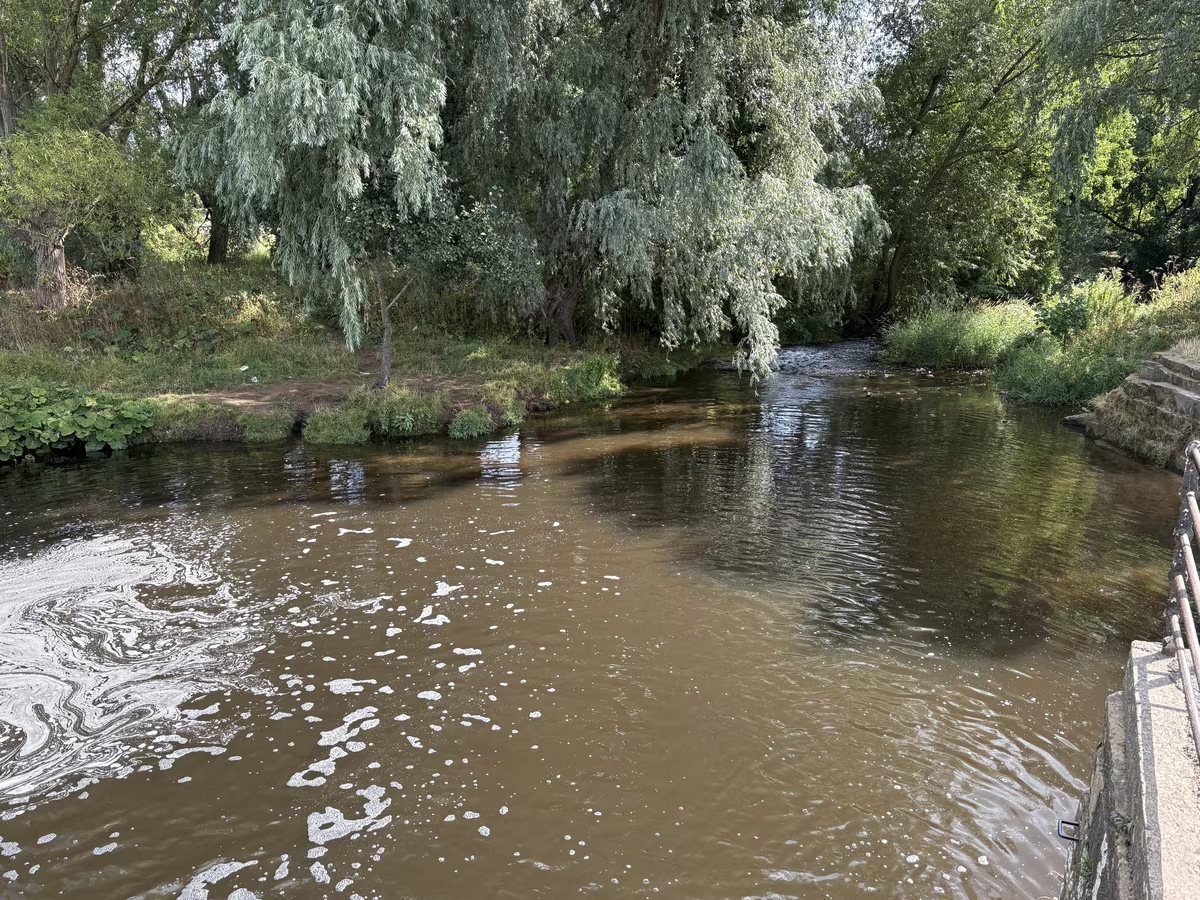
Stone steps down to the beck 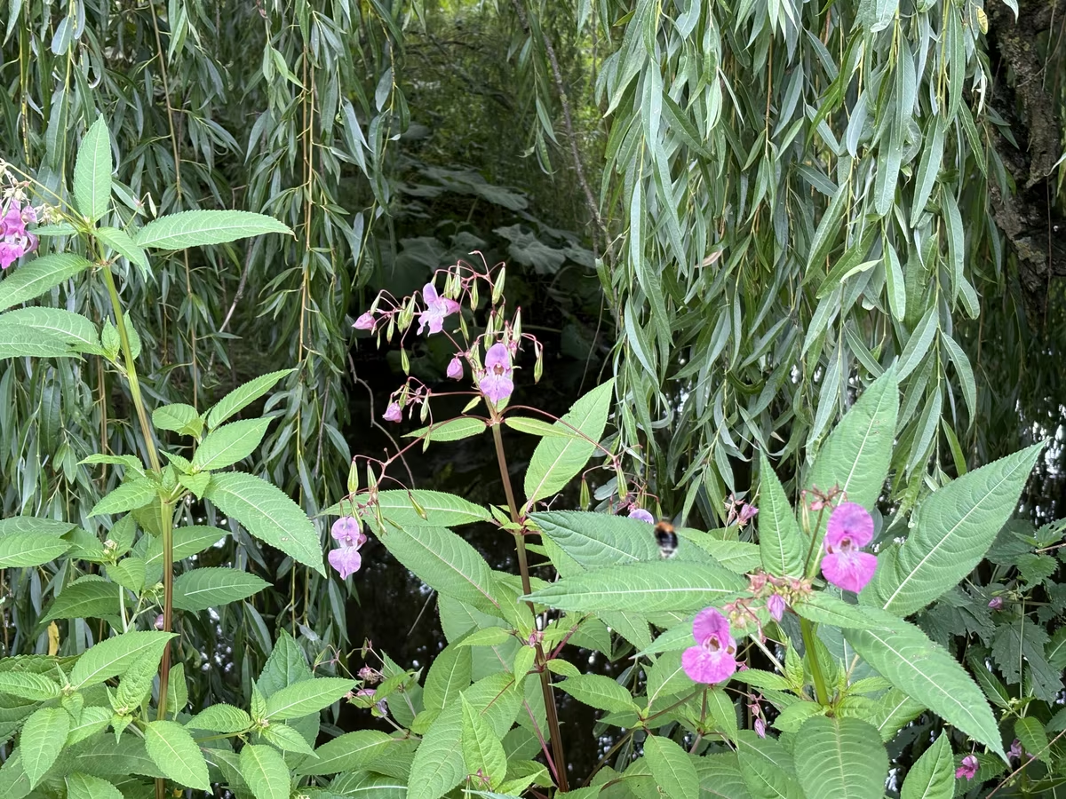
Himalayan balsam on the bank, one of two invasive plants along here
Questions people ask
Cod Beck riverside walk, answered
How long is the Cod Beck walk?
The town loop runs to two or three miles and takes about an hour at an easy pace. You can cut it to twenty minutes by walking down to the bridge, along the water and back up into the square.
Does it cost anything?
No. The riverside paths are open access and free, and there is nothing to book or pay for at any point on the route.
Can I take a dog?
Yes, this is one of the best dog walks in town. Keep them on a lead where the path runs past livestock on the southern stretch towards Sowerby.
Is it suitable for a pushchair?
The stretch through town is flat and firm and normally fine. After a wet spell the softer sections beyond the bridges get muddy, so a buggy with decent wheels copes better than a lightweight one.
Does the beck flood?
Yes. Cod Beck rises quickly after heavy rain on the moors and the lowest paths go under, so check conditions before you set off in winter or after a storm.
What if the weather turns?
Everything indoors in Thirsk is within five minutes of the beck. The World of James Herriot, Thirsk Museum and the Ritz Cinema all sit in the same few streets.
Goes well with
Make a day of it
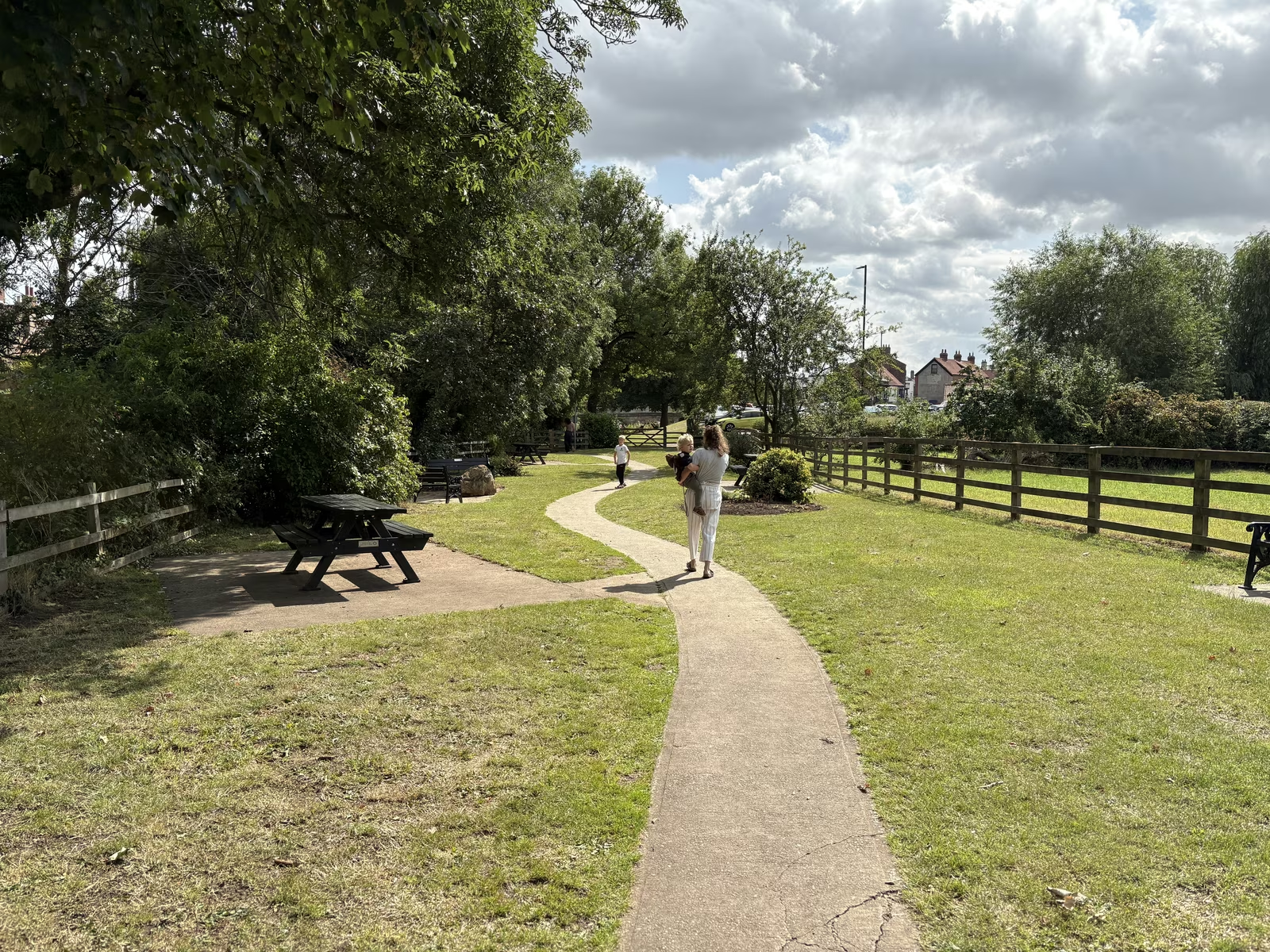
The Holmes
The riverside green on Cod Beck where Thirsk goes to sit on the grass, five minutes from the square
5 min walk from the cafe
The Seven Bridges walk
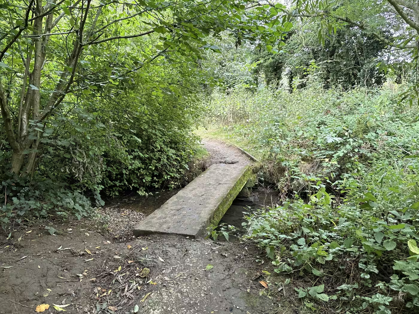
The little wooded path that carries on past the weir, crossing and recrossing a stream on a string of small footbridges
12 min walk from the cafe
Sowerby Flatts and Pudding Pie Hill
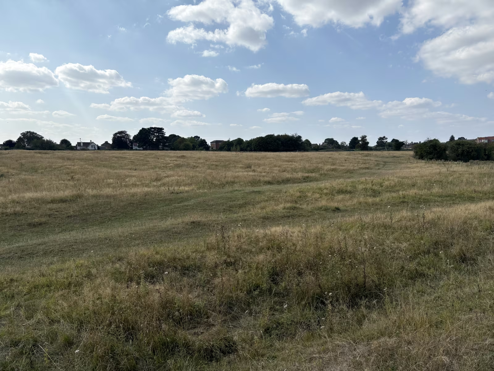
A Victorian lime avenue, an open water meadow and an Anglo-Saxon barrow, all on a flat circuit of two to three miles from the square
20 min walk from the cafe
Start or finish at Tea Time Cafe, 87 Market Place. Hours and directions. Spotted something out of date? Tell us and we'll fix it.