Plan a day in Thirsk · Thirsk on foot · Walks & outdoors
The Seven Bridges walk
The little wooded path that carries on past the weir, crossing and recrossing a stream on a string of small footbridges
- From the cafe
- 12 min walk
- Time to allow
- 45 minutes
- Cost
- Free
Opening, prices & access
- From Tea Time Cafe
- 12 min walk. Down Millgate to the beck, north along the water past The Holmes to Norby Weir, then carry straight on instead of turning back
- Time to allow
- About 45 minutes; 25 minutes if you're rushing
- Cost
- Free
- Opening
- Open access at any time, best walked in daylight. The woodland section is muddy after rain and the beck floods, so check conditions in winter
- Dogs
- Welcome
- Access
- Not suitable for pushchairs or wheelchairs. It is a woodland path with a kissing gate, small footbridges and ground that stays wet. For a flat surfaced route towards South Kilvington, use the asphalt cycle path along Stockton Road instead
Why go
Most people walking up Cod Beck stop at Norby Weir, look at the water for a minute and turn round. If you carry straight on instead, a gate takes you into a short piece of woodland where the path crosses and recrosses a small stream on a run of little footbridges, then rises to come out on Stockton Road at the top end of town.
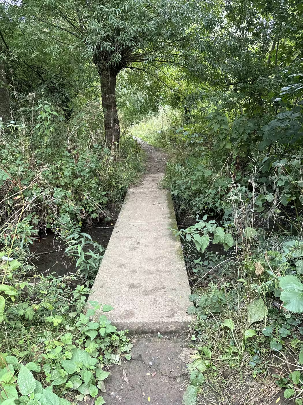
The whole wooded stretch is only two or three hundred metres. It is the sort of thing children remember and adults walk past, and it turns the weir from the end of a walk into the middle of one.
The stream is Whitelass Beck, and it joins Cod Beck about ninety metres below the weir, which is exactly why the path begins there. Both Visit Thirsk leaflets that cover this ground describe the section, though neither of them calls it the Seven Bridges. That name belongs to the people who live here.
Getting there
From 87 Market Place, take Millgate down to the beck, which is two minutes on the flat. Turn north with the water on your left and follow it past The Holmes, where the playground and the picnic benches are, for another ten minutes or so. There are no decisions to make on the way: the path delivers you to Norby Weir, and you will hear it before you see it. The footbridge and the bench beside it mark the spot.
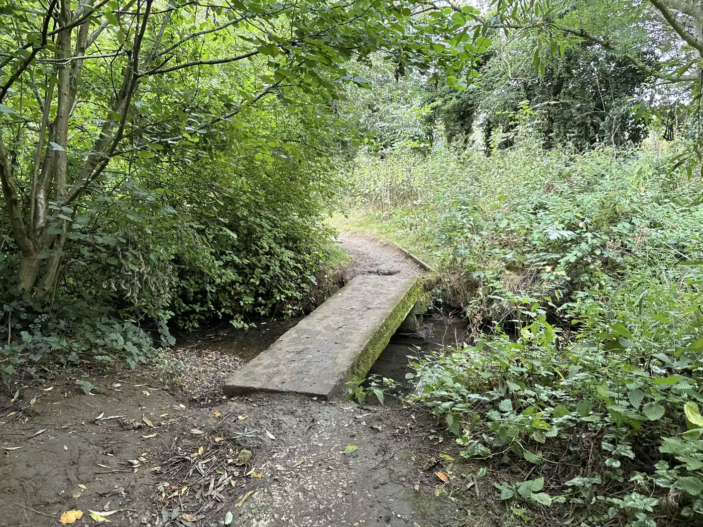
The path forks here, and this is where people turn back without meaning to. A sharp right takes you back towards town down the other side of the river, which is the loop most walkers do and the reason so few people know this path exists. For the Seven Bridges, carry straight on instead, and a gate takes you into the woodland. The first crossing announces the character of the place immediately: a concrete slab with one end settling into the stream, half broken and completely crossable, which is the Seven Bridges all over.
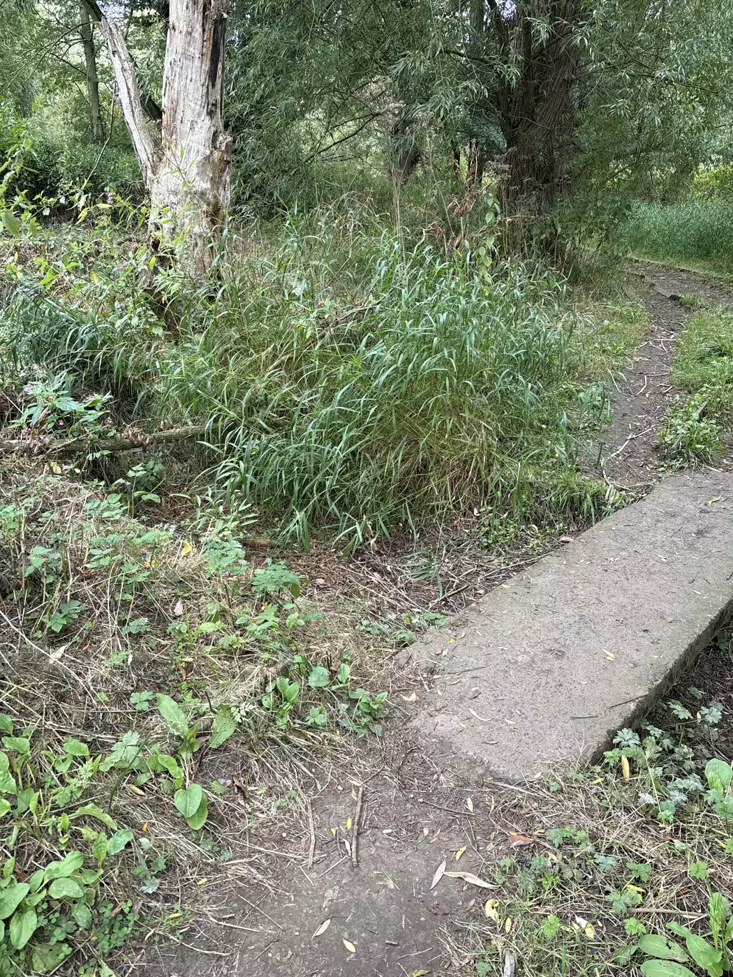
From that first slab the crossings come every thirty to fifty metres, so you are never long between bridges. When the path rises and joins a wider path opposite a bench put there by Thirsk Rotary Club, you have reached the far end. We timed it on the walk this page is written from: about fifteen minutes from the weir with constant stops for photographs, so nearer ten walked plainly.
Coming the other way, the entrance is off Stockton Road, which is the A61 running north towards South Kilvington. Look for a metal kissing gate set back behind the grass verge with a litter bin beside it, under a big sycamore; it is a gate rather than a gap in a hedge, which makes it findable from the road. There is no parking at that end worth using. Marage is the sensible car park, satnav YO7 1AA, and it puts you on the beck in a couple of minutes.
What to do
Walk it slowly, because the interest is all in the detail and it is over in a few hundred metres. The path meanders rather than runs straight, crossing the stream, then crossing back, with the bridges close enough together that you are on and off them constantly. With children the game writes itself: one of them owns the count, calls each bridge as it is crossed, and rules on the hard cases, because not every crossing is obvious and that is half the fun.
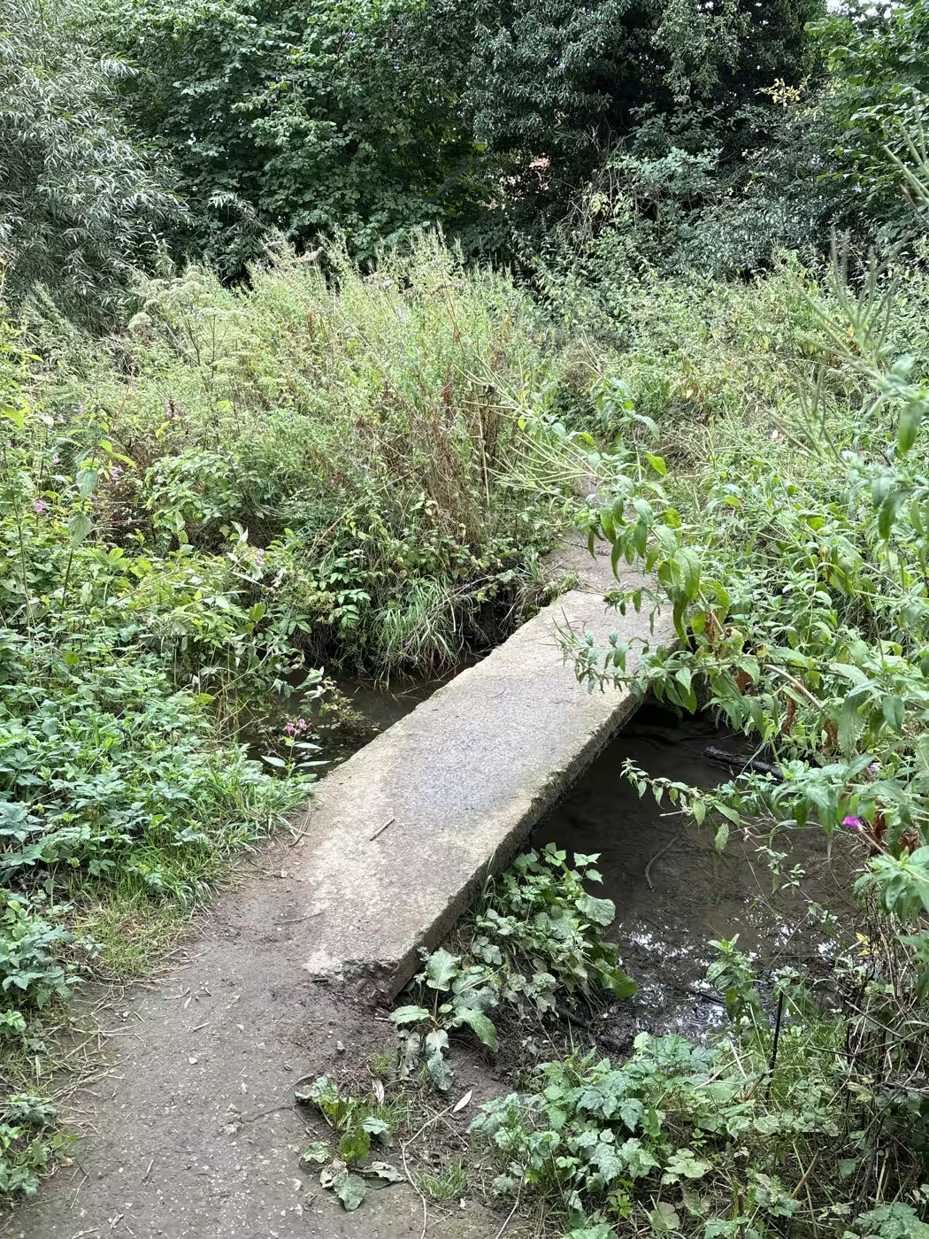
Count the bridges, and settle your rules before you start, because the answer depends on them. Do the concrete slabs count? The half-broken ones? The brick arch you cross without noticing there is water underneath? The footbridge at the weir itself? We walked it in August 2026 and made it six, maybe seven, and our best theory is that the weir crossing is meant to be one of the seven. Both published leaflets say only that the path crosses the stream several times, and the mapped record shows three footbridges on the right of way. Small footbridges go unmapped all the time, and nobody appears to have written the number down. If you get a firm count, tell us over a pot of tea.
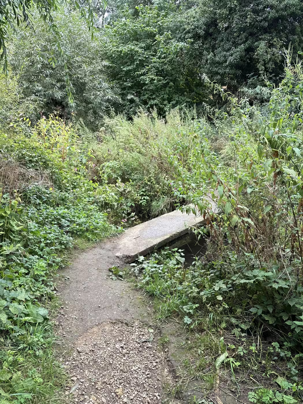
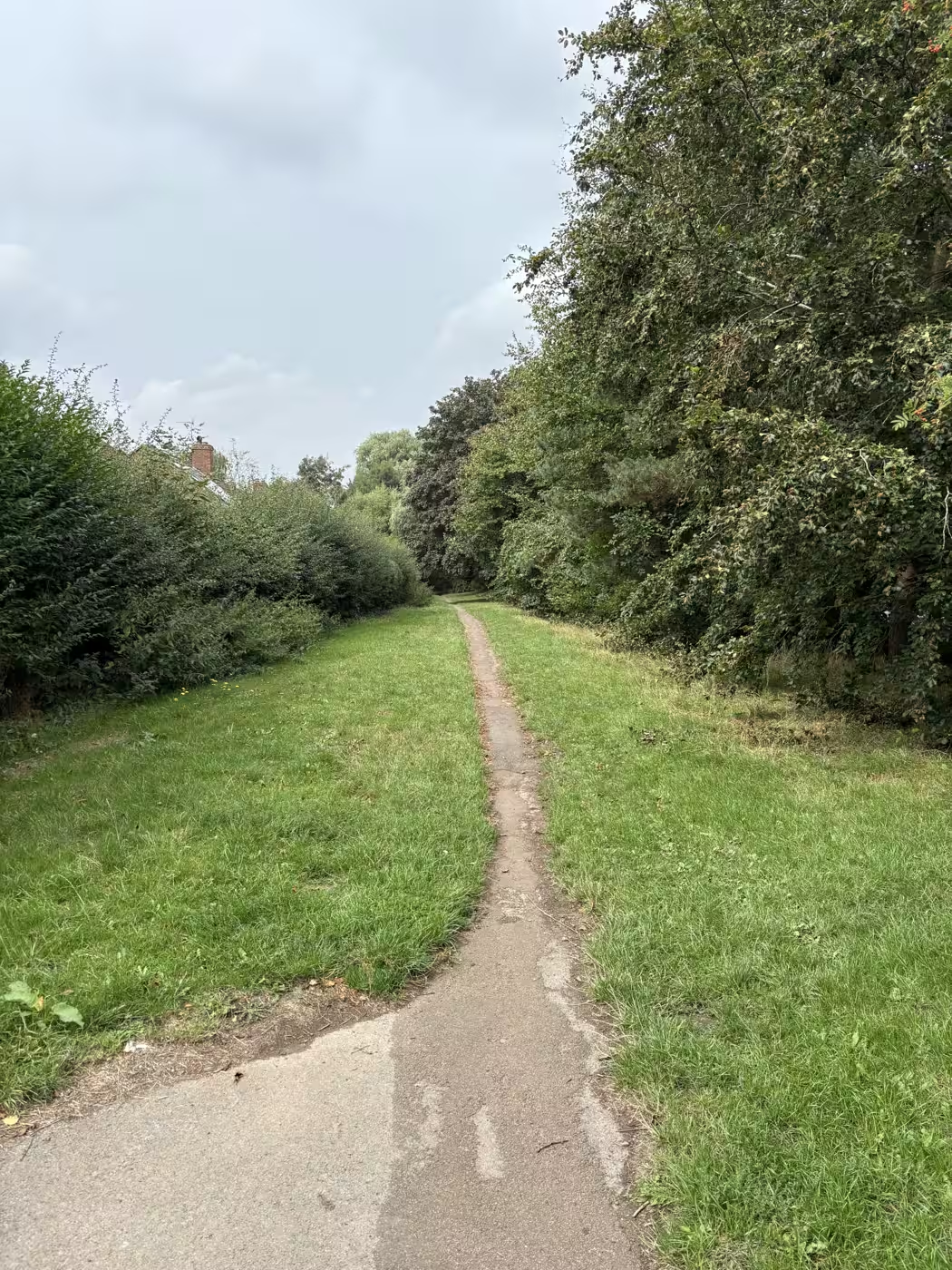
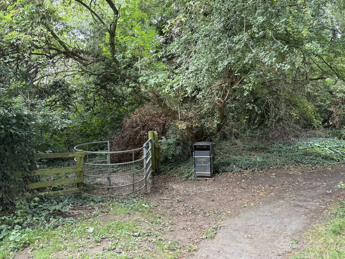
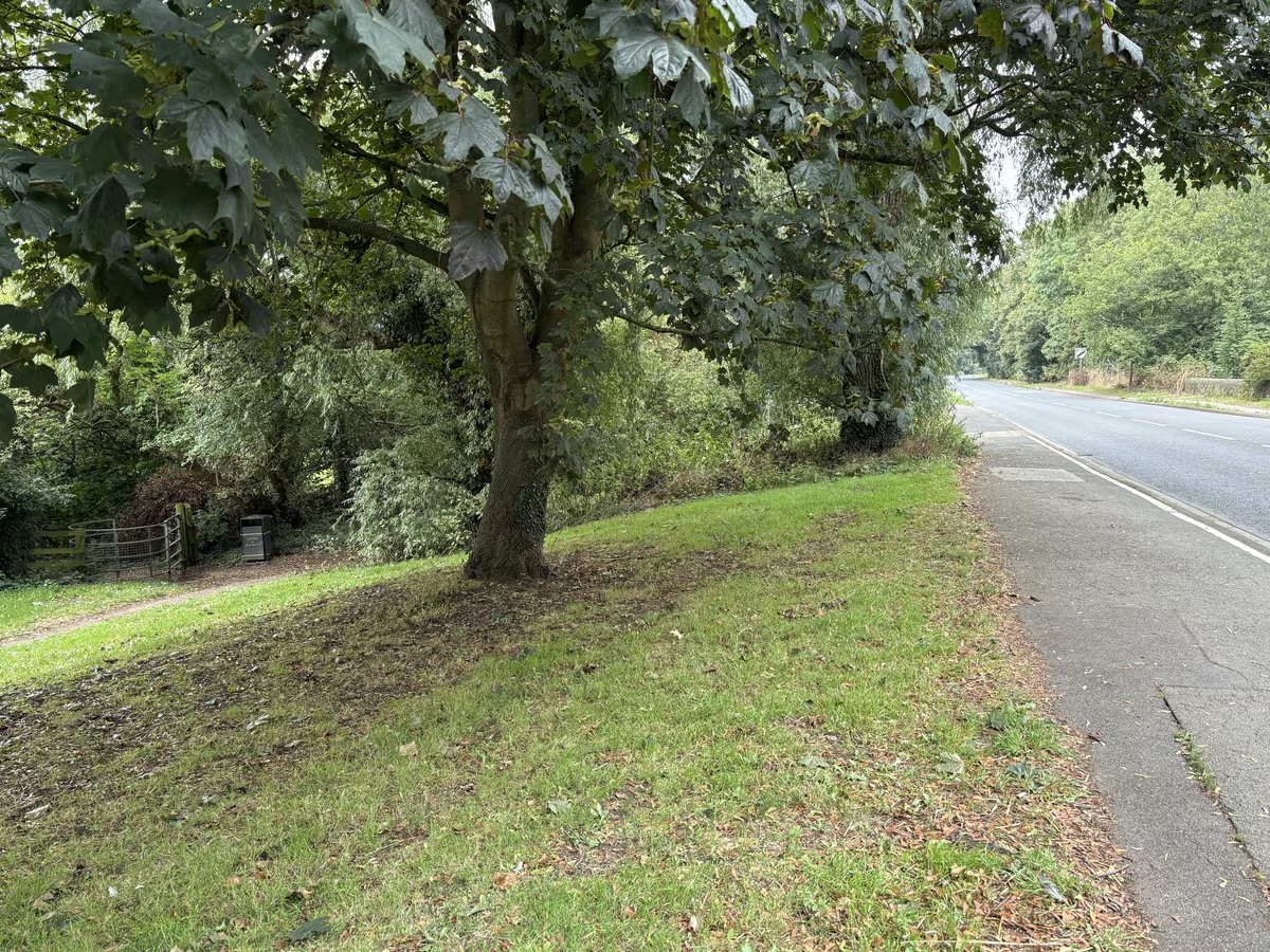
At the far end you have three ways home, and the Rotary bench is the place to choose rather than drifting. The quickest is to turn towards town on the easy path beside Stockton Road: five minutes to the river bridge, off the road itself for most of it, some handsome houses to look at on the way, and it drops you back at the beck a couple of minutes from the Market Place. The prettiest is to turn round and go back through the woods, then come home down the other side of the beck, so you see every crossing twice without repeating a bank; allow another twenty to twenty five minutes. And the biggest is to carry on north to South Kilvington and come back on the field path past St Mary's, which turns an hour into a proper afternoon; expect field edges rather than made path, and take water on a warm day.
Best features
The bridges, obviously, and the fact that they come one after another rather than being spread out. That is what makes it work with children.
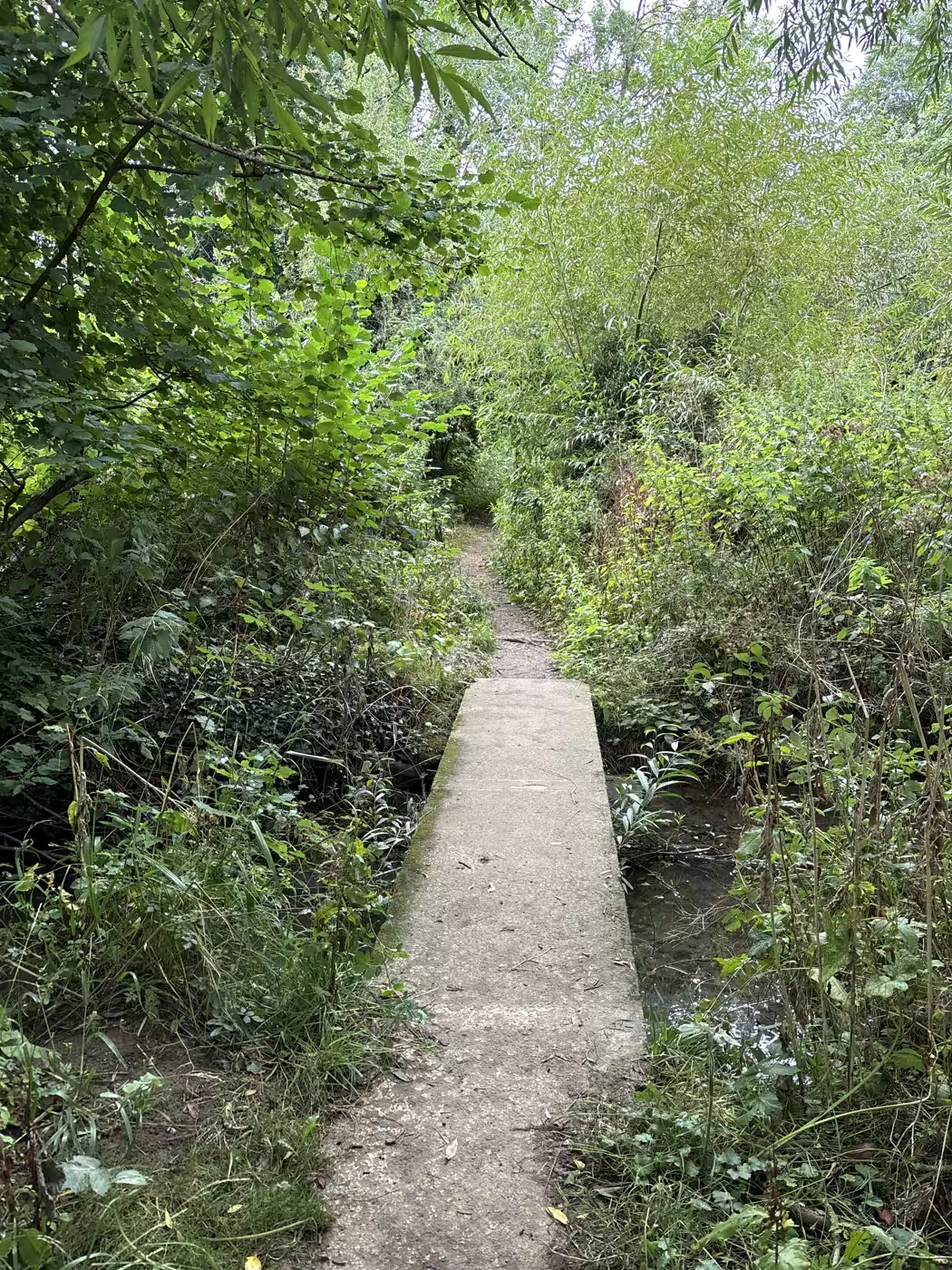
The shade, which matters in July when the beckside itself is open and hot. The leaflet's phrase for it is a shady woodland path, and that is accurate.
The link it makes. Without this path the Cod Beck walk is a there-and-back, and the country north of Thirsk stays behind a busy road. With it, the weir becomes a junction.
The water, if you stop and look at it. There are little fish plain to see in the pools, robins working the path edges, and frogs in these becks all year, with clouds of tadpoles in their season. By late summer the stream runs low and paddly, though even in a dry year it keeps going, and it fills back up through the autumn.
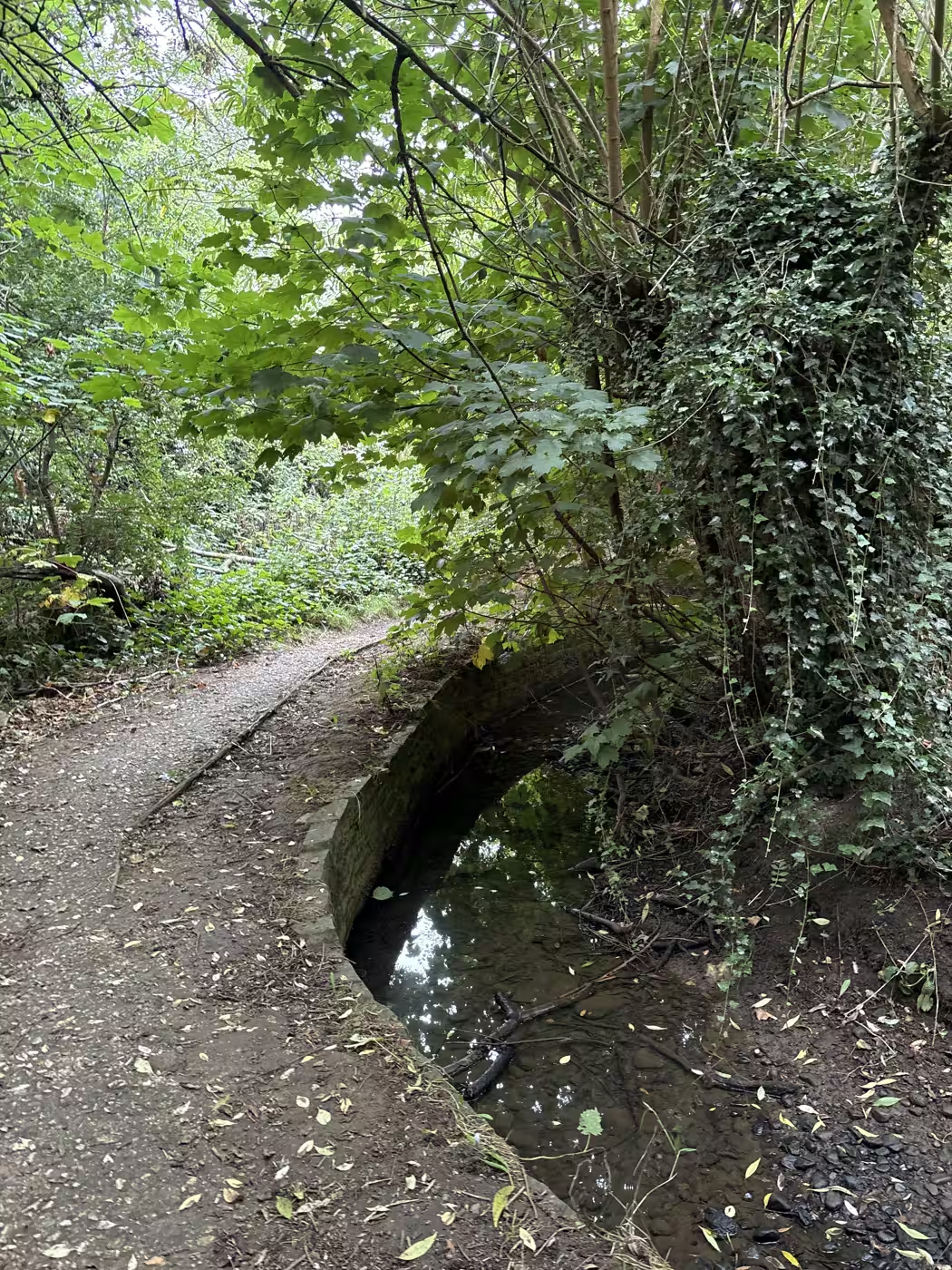
The quiet. It is minutes from the Market Place and feels properly secluded, which is a rarer combination than it sounds.
Tips
Match your footwear to the week's weather. In a dry spell most footwear is fine. After rain you want wellies, or boots you are happy to get properly mucky: it is a low woodland path beside a stream and it holds water for days.
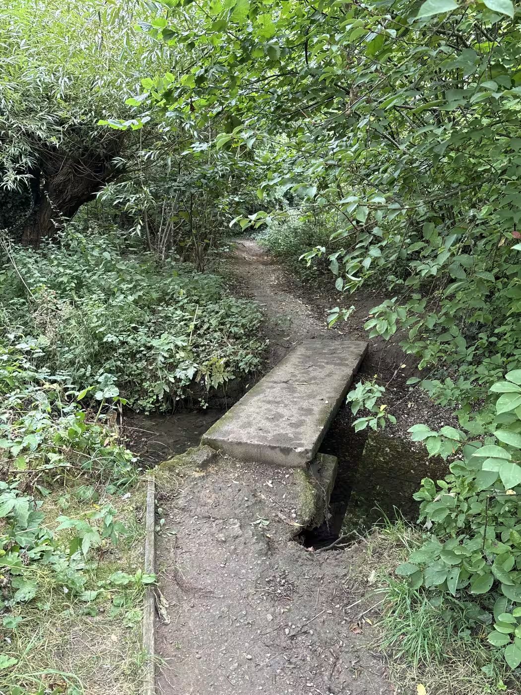
Check the river before you set out in winter. Cod Beck comes off the moors and rises fast, and the flood warning areas here cover Shire Road and Springfield Close, which are right beside this path. The live gauge is linked above and takes ten seconds to read: if the Thirsk level is climbing, save this one for another day, because the whole path sits barely above the water even in summer.
Time it by what you want from it. Spring is tadpoles in the pools and the woods at their freshest. July is the shade, when the open beckside bakes and this stretch does not. After a dry August week it is at its most paddly and child-friendly. The hour to avoid is the one straight after heavy rain, for the mud rather than any danger, and the gauge settles that question before you leave the house.
There is one kissing gate at each end, and no stiles, so a dog that manages the Cod Beck stretch will manage this one too. A lead is sensible through the wooded part, where the path is single file and the drops to the water are close.
Giant hogweed grows along these becks along with Himalayan balsam. Hogweed sap burns skin in sunlight, so keep children from grabbing at the big umbrella-shaped plants, and do not strim anything.
If somebody in the party needs a firm surface, do not attempt this one. Take the asphalt cycle path along Stockton Road instead, which runs to South Kilvington and takes a pushchair without complaint.
The route, step by step
- Distance
- 600 m
- Shape
- There and back
- Underfoot
- Packed earth and grass, with timber footbridges. Low-lying and properly wet after rain, so boots rather than trainers.
Access Not step-free. The footbridges have a step up at each end and the path between them is narrow, uneven and prone to mud, so this one does not work with a pushchair or a wheelchair. It is short and flat otherwise, with no climbing.
The line is the walk; the numbers match the points below. T is our door.
Point 1: The Norby end
Pick the path up beyond the weir, carrying straight on rather than turning back for the riverside loop. It starts unpromisingly and improves within a hundred yards, once the houses drop behind you.
Point 2: The first crossings
The path meanders rather than runs, crossing the stream then crossing straight back. The bridges come close enough together that you are on and off them constantly, which is the whole character of the walk.
Point 3: Counting them
Count as you go, because we cannot tell you how many there are. Both published leaflets say only that the path crosses the stream several times, and the mapped record shows three footbridges. The local name says seven, and nobody appears to have written the number down.
Point 4: The far end, and three ways home
The path comes out at the top end of town near the A61. From here you have three ways home - back into town on the easy path beside Stockton Road, about five minutes to the river bridge; back the way you came and down the other side of the beck; or on up to South Kilvington for the field path past St Mary's. Whichever you choose, walk the wooded stretch slowly; it is over in a few hundred metres and the detail is the point.
Photographs
The Seven Bridges walk, in pictures
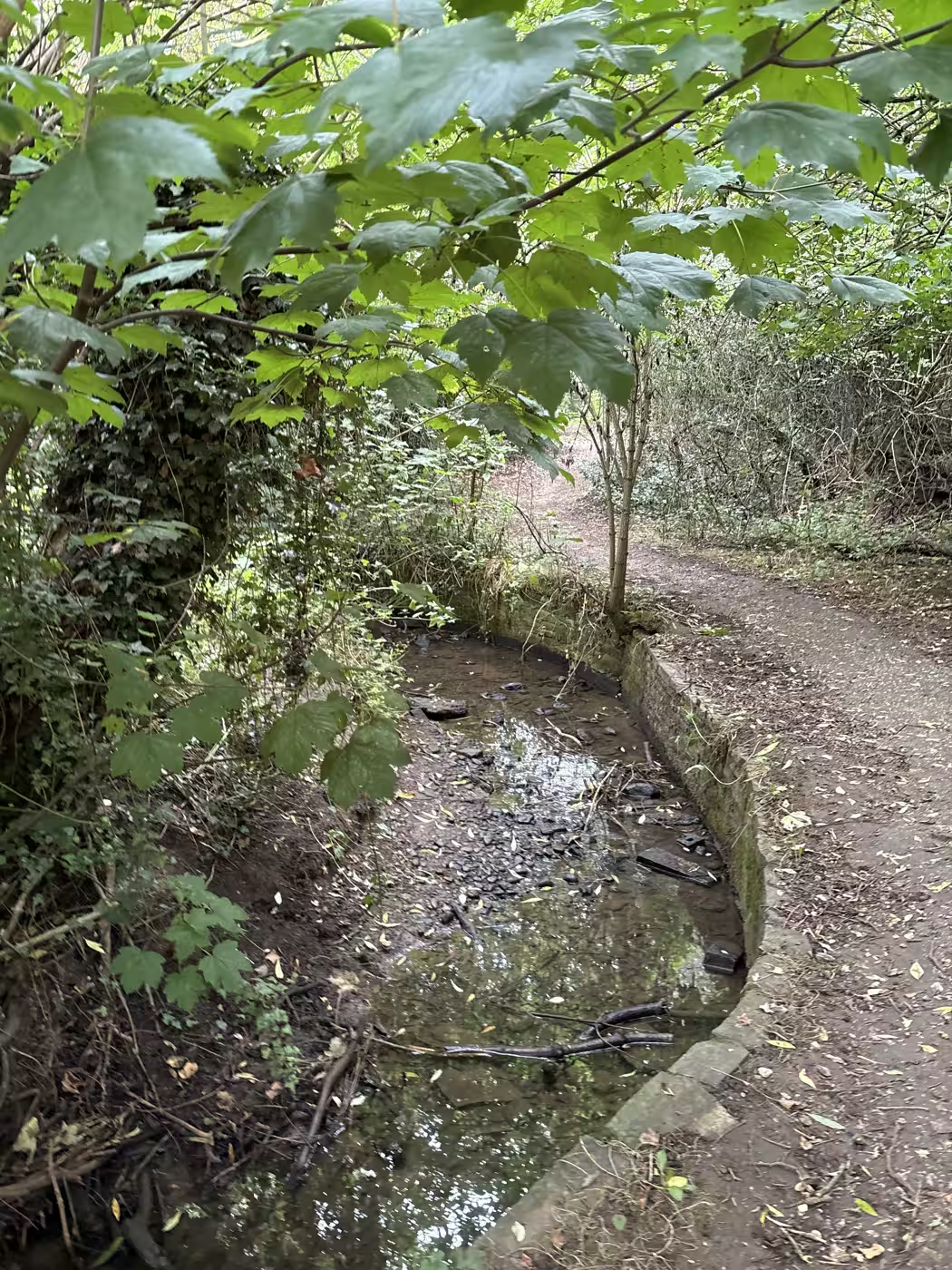
The brick-lined pool beside the path, shallow enough in summer to see the bed. Stop here a minute; this is where the little fish are easiest to spot 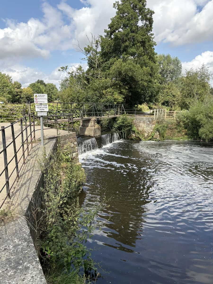
The footbridge at Norby Weir, where the walk begins. Cross it and you have turned for home with everyone else; keep it on your left to carry on into the trees 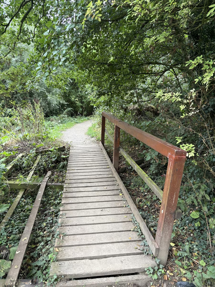
A timber footbridge on the route, its left-hand handrail broken and fallen away into the undergrowth. Sound underfoot; just do not lean where the rail used to be
Questions people ask
The Seven Bridges walk, answered
Are there really seven bridges?
We walked it in August 2026 and made it six, maybe seven, and we suspect the crossing at the weir itself is meant to count as one of the seven. Nobody has ever published a number. The Visit Thirsk leaflets both say the route crosses the stream "several times", and mapped data shows three footbridges on the public path. Count for yourself and tell us what you make it.
Where does it start and where does it come out?
It starts at Norby Weir, where most people turn back, and comes out on Stockton Road at the northern edge of Thirsk, on the way to South Kilvington.
How long does it take?
The wooded stretch took us about fifteen minutes with constant photo stops, so nearer ten walked plainly. From our door, out along the beck and back beside Stockton Road is about three quarters of an hour at a gentle pace; returning through the woods instead adds twenty minutes or so.
Which stream does it cross?
Whitelass Beck, which joins Cod Beck about 90 metres below the weir. That junction is why the path starts where it does.
Can I take a pushchair?
No. It is a woodland path with a kissing gate and it stays muddy. The surfaced alternative towards South Kilvington is the asphalt cycle path beside Stockton Road.
Is it a right of way?
Yes, a definitive public footpath, waymarked with the yellow arrows North Yorkshire Council uses for footpaths.
What can I do at the far end?
Three things. Walk back into town on the easy path beside Stockton Road, away from the traffic for most of it, about five minutes to the river bridge with some handsome houses on the way. Or turn back through the woods and come home down the other side of the beck. Or carry on up to South Kilvington and return on the field path past St Mary's, which lands you back close to town and makes an afternoon of it.
Goes well with
Make a day of it
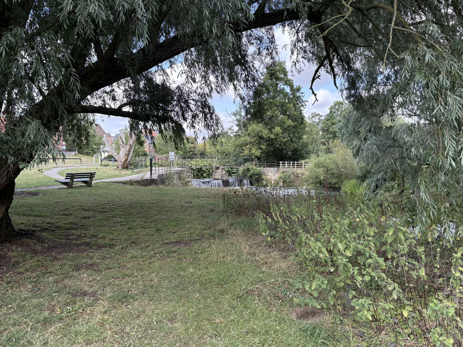
Cod Beck riverside walk
The stream that made Thirsk, with a flat two to three mile riverside loop you can pick up two minutes from the square
2 min walk from the cafe
 Countryside illustration
The South Kilvington field path
An unnamed run of field paths and old lanes between Thirsk and South Kilvington, hidden behind the hedge from the A19
15 min walk from the cafe
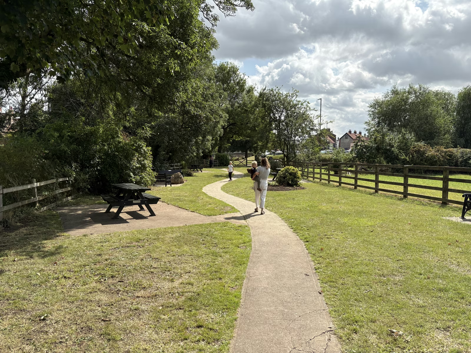
The Holmes
The riverside green on Cod Beck where Thirsk goes to sit on the grass, five minutes from the square
5 min walk from the cafe
Start or finish at Tea Time Cafe, 87 Market Place. Hours and directions. Spotted something out of date? Tell us and we'll fix it.