Two minutes off the market square you are on the water. Five and you are at the green. Twelve and you are at Norby Weir, where most people who get that far turn round and walk home.
That is the whole reason the Seven Bridges stays quiet. Carry straight on past the weir instead and the path runs into a strip of woodland where a small stream crosses under you again and again, on slabs and planks and a brick arch. The houses drop behind you inside a hundred yards and the noise goes with them.
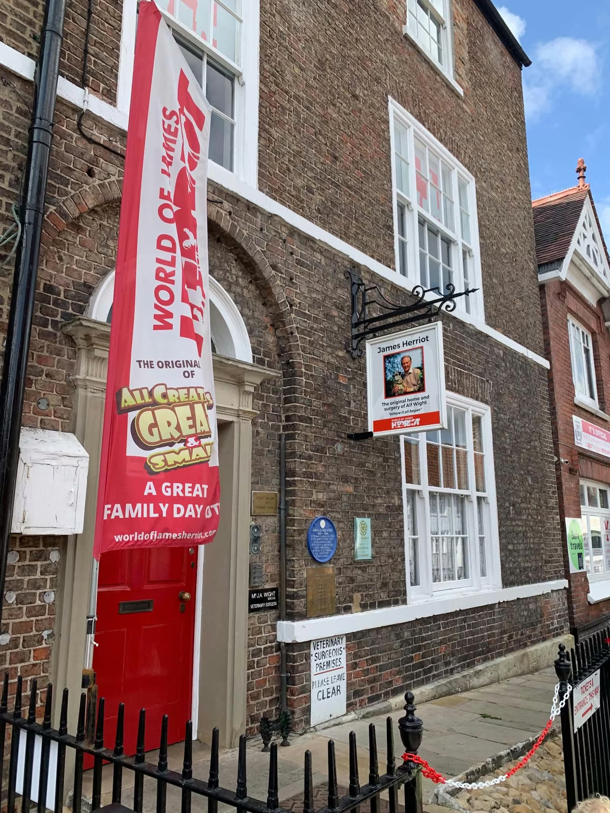
It is the prettiest short walk we can send anybody on, it costs nothing, and it starts twelve minutes from 87 Market Place.
Getting to the fork
Down Millgate to the water, then north along the beck past The Holmes, where the playground and the picnic benches are. It is one of the flatter entries on our list of walks, and the only hard part is knowing where to leave the river. Ten minutes of flat, easy going and you are at the weir, with a bench beside it.
This is where people turn back without meaning to, so it is worth being plain. The path forks. A sharp right takes you back towards town down the other bank, which is the loop most walkers do and a perfectly good half hour. Straight on is the Seven Bridges. A kissing gate takes you off the open beckside and into the trees.
The wooded stretch
Two or three hundred metres, which is a few minutes if you simply walk it. We took fifteen, because you do not: you stop at every crossing.
The stream is Whitelass Beck, and it joins Cod Beck about ninety metres below the weir. That junction is exactly why the path is here: it follows the smaller water inland. The path meanders rather than runs, crossing the stream and then crossing straight back, which is what puts so many bridges into so little ground.
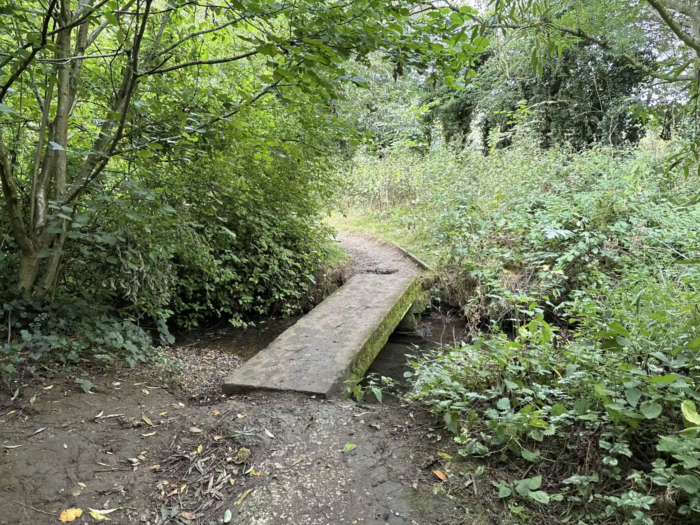
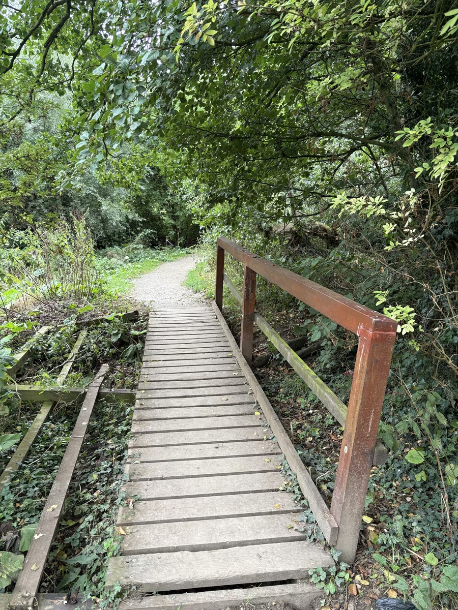
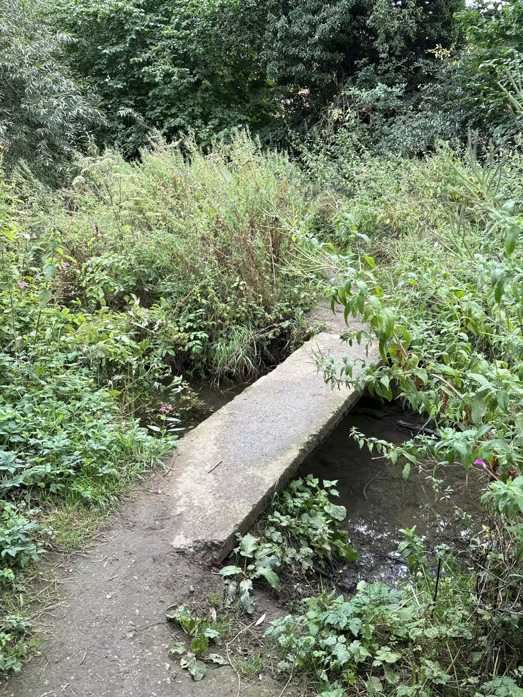
The crossings are all different, which is the pleasure of it. A concrete slab with one end settling into the streambed, half broken and completely crossable. A mossy slab with the path curving away beyond it. A brick culvert. A plank bridge with a handrail down one side and nothing at all down the other.
We counted six, maybe seven
Walking it in August we made it six, and possibly seven depending on what you are willing to call a bridge. We are not confident, and we would rather say so than pick a number.
Neither Visit Thirsk leaflet gives one either; both say only that the path crosses the stream several times. The mapped record of the right of way shows three footbridges, which is fewer than are actually there, because small crossings go unrecorded all the time.
Our best guess is that the crossing at the weir itself is meant to count as one of the seven, which would make the name work. That is a guess. If you walk it and get a firm count, tell us over a pot of tea. We will happily be corrected on the walk's own page.
What it costs and what you need
Nothing, and boots.
It is a definitive public right of way, waymarked with the yellow arrows North Yorkshire Council uses for footpaths, and open at any time. There is nothing to pay and nobody to ask. It is unlit and it runs beside water, so walk it in daylight.
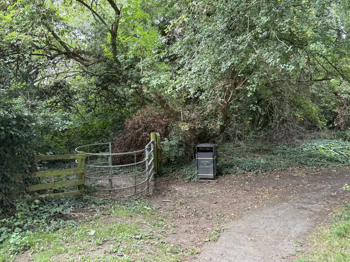
Coming the other way, from the top of town, the entrance is off Stockton Road, the A61 towards South Kilvington. Look for a metal kissing gate set back behind the grass verge with a litter bin beside it, under a big sycamore. There is no parking worth using at that end; Marage Road is the sensible car park and puts you on the beck in a couple of minutes.
When not to bother
After heavy rain, and through most of the winter.
The ground in the woodland holds water and the beck floods, and a path whose entire appeal is small bridges over a stream is a poor plan when the stream is over the bridges. It is also not a pushchair or wheelchair route in any weather: there is a kissing gate at the start and the surface is woodland earth throughout. If somebody in the party needs a firm surface, take the surfaced cycle path beside Stockton Road towards South Kilvington instead.
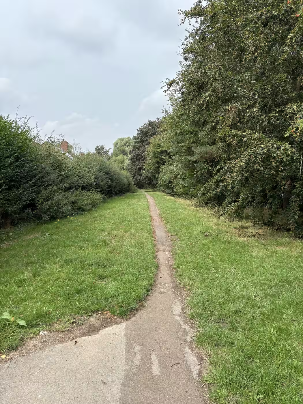
And the far end tails off. The bridges stop, the woodland opens into grass, and that is the moment to turn or pick a way home rather than press on hoping for more.
Three ways home
From the far end you can walk back into town beside Stockton Road, five minutes to the river bridge and away from the traffic for most of it. You can turn round and come back through the woods, then home down the other side of the beck, which gives you the whole walk twice without repeating a bank and adds twenty to twenty-five minutes. Or you can carry on up to the field path towards South Kilvington and come back past St Mary's, which turns an hour into an afternoon.
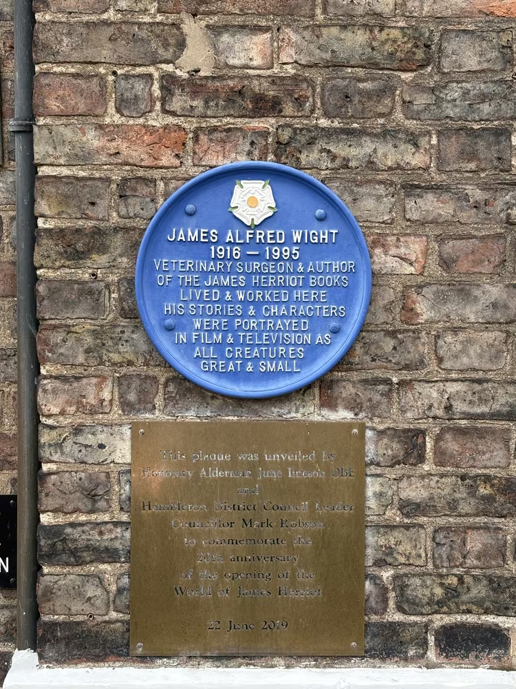
The first is the one to pick if you have a table booked. The last is the one to pick if you have not. Market day explains what a Monday or Saturday morning in the square is actually like, and if you would rather stay on pavement than mud, the blue plaques are the dry alternative.
Two things to know before you go
Giant hogweed grows along these becks alongside the Himalayan balsam. Its sap burns skin in sunlight, so keep children away from the tall umbrella-shaped plants and do not let anybody pull at them.
And check the river in winter. Cod Beck comes off the moors and rises fast, and the flood warning area here covers Shire Road and Springfield Close, which sit right beside this path. The live gauge for Thirsk takes ten seconds to read; if the level is climbing, save it for another day, because the whole path sits barely above the water even in summer.
Where we fit
The walk is at its best early, before the town is properly awake. Have breakfast first and go from the door, and take a bag for the mud on your boots.
If there are six or more of you, or it is a market Monday or Saturday when the square is busy, book a table rather than turning up and hoping.